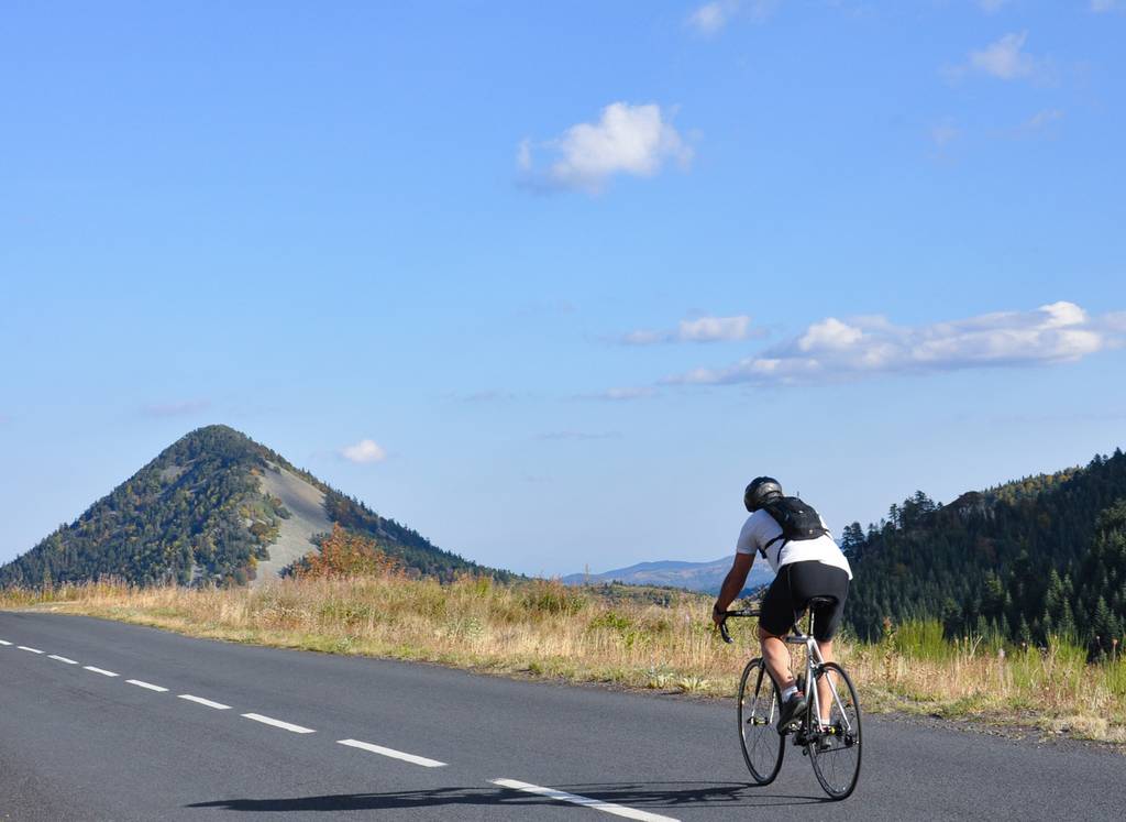
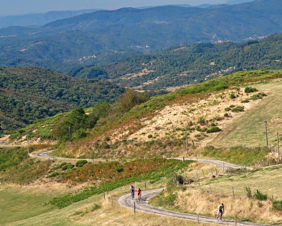
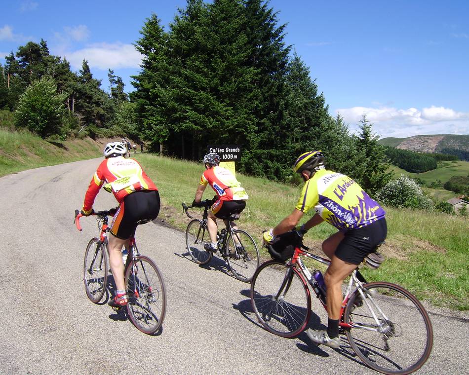
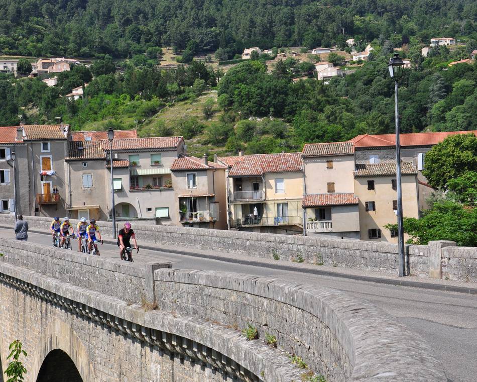
L'Ardéchoise : Les Sucs
-
on recommande !
-
Village
07410 SAINT-FÉLICIEN - Contacter par e-mail
- +33 4 75 08 10 23
- +33 4 75 06 06 12
- https://www.ardechoise.com/
Routebeschrijving
- Distance :
- 234 km
- Dénivelé :
- 4310 m
- Durée de l’itinérance :
- 3 jours
Beschrijving
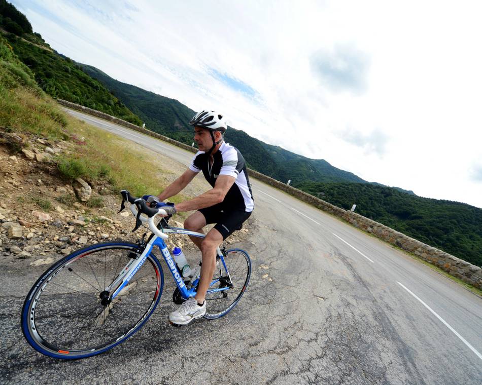
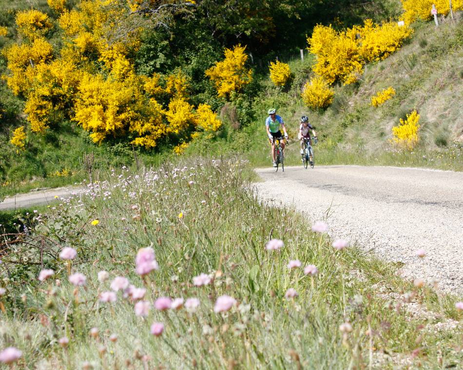
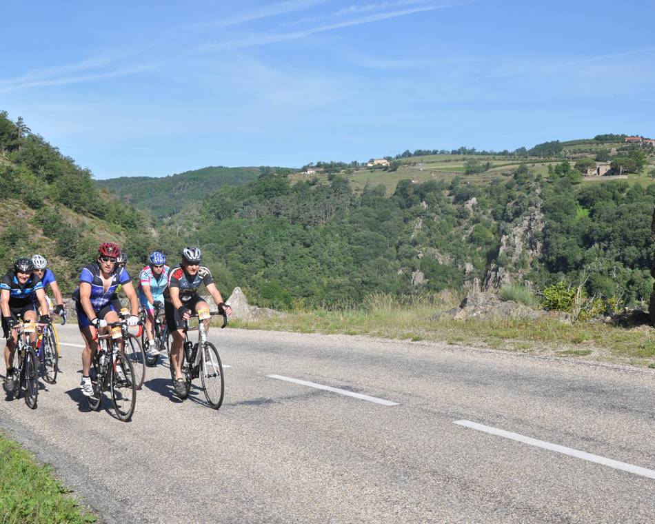
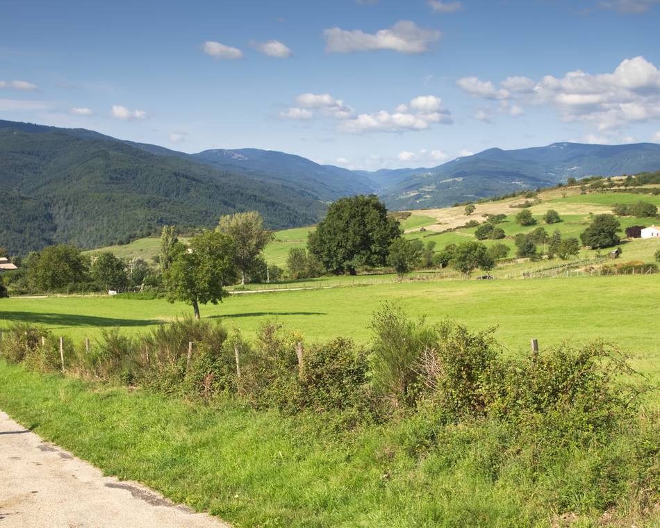
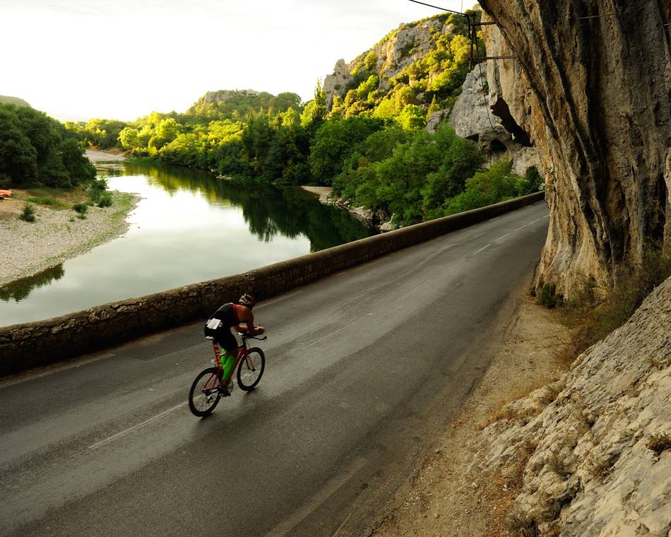
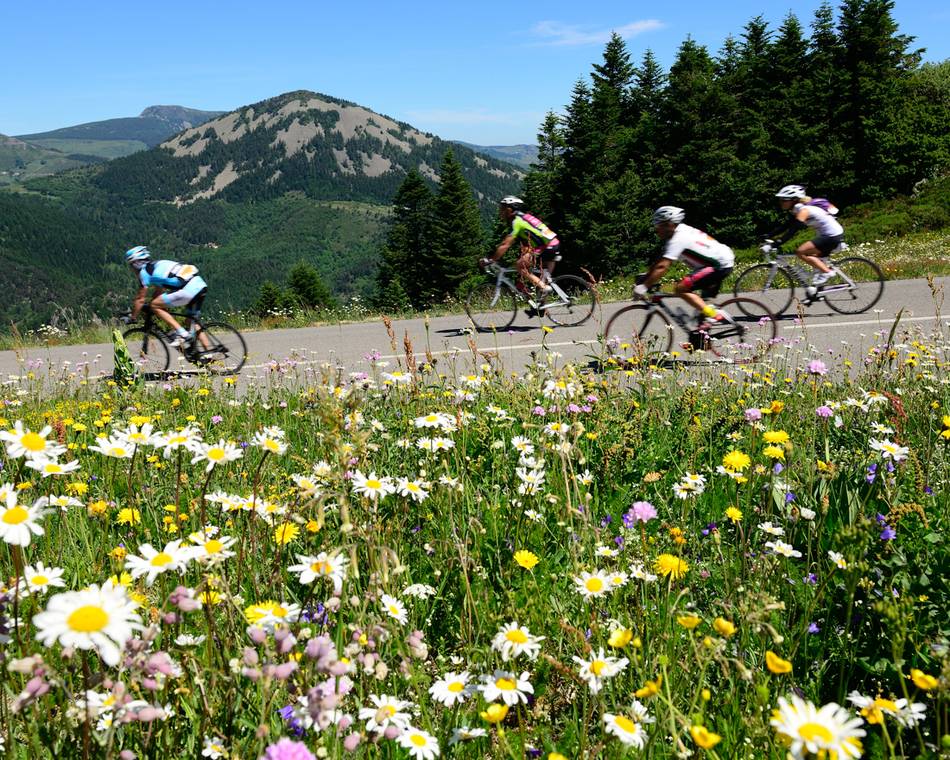
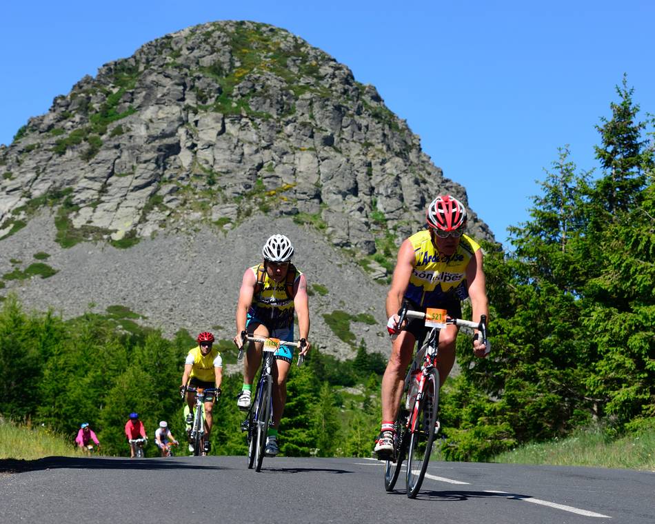
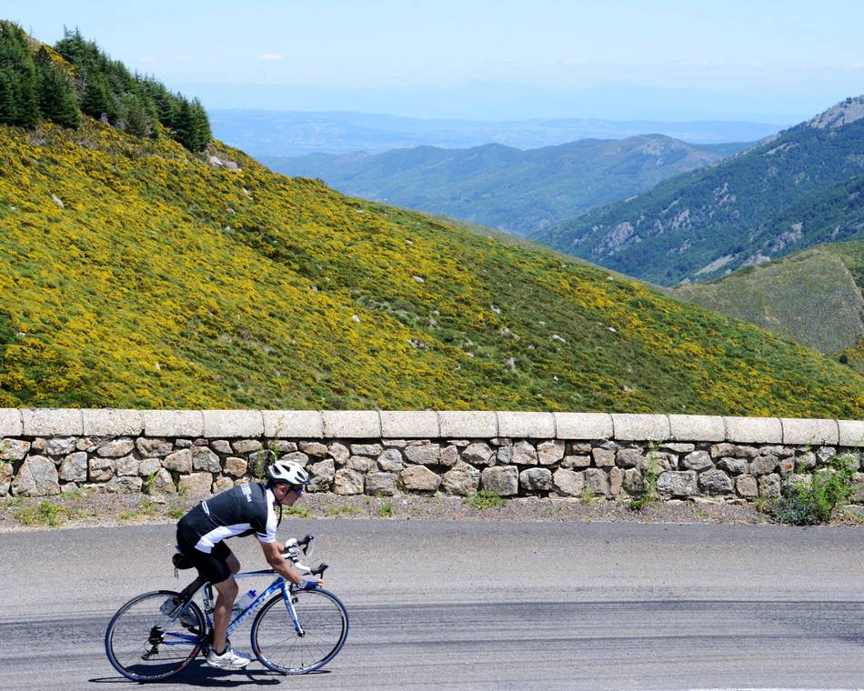
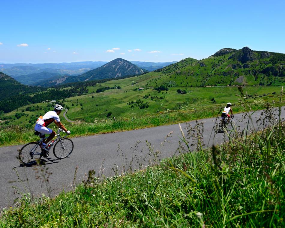
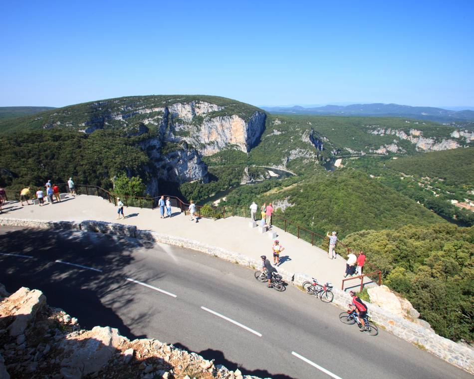
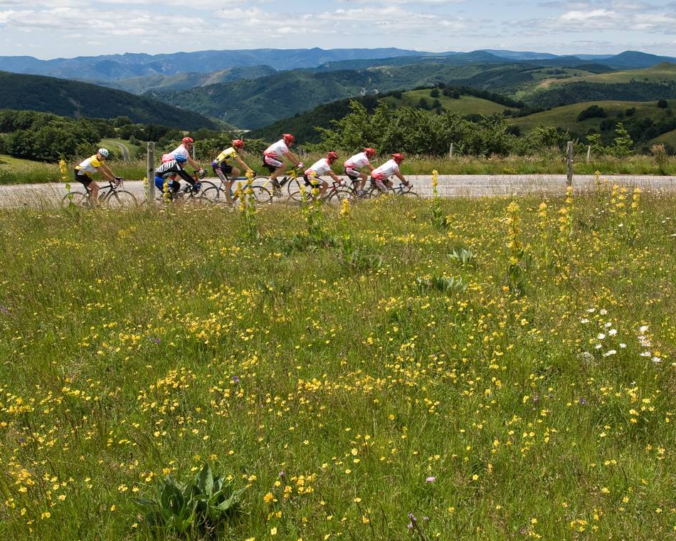
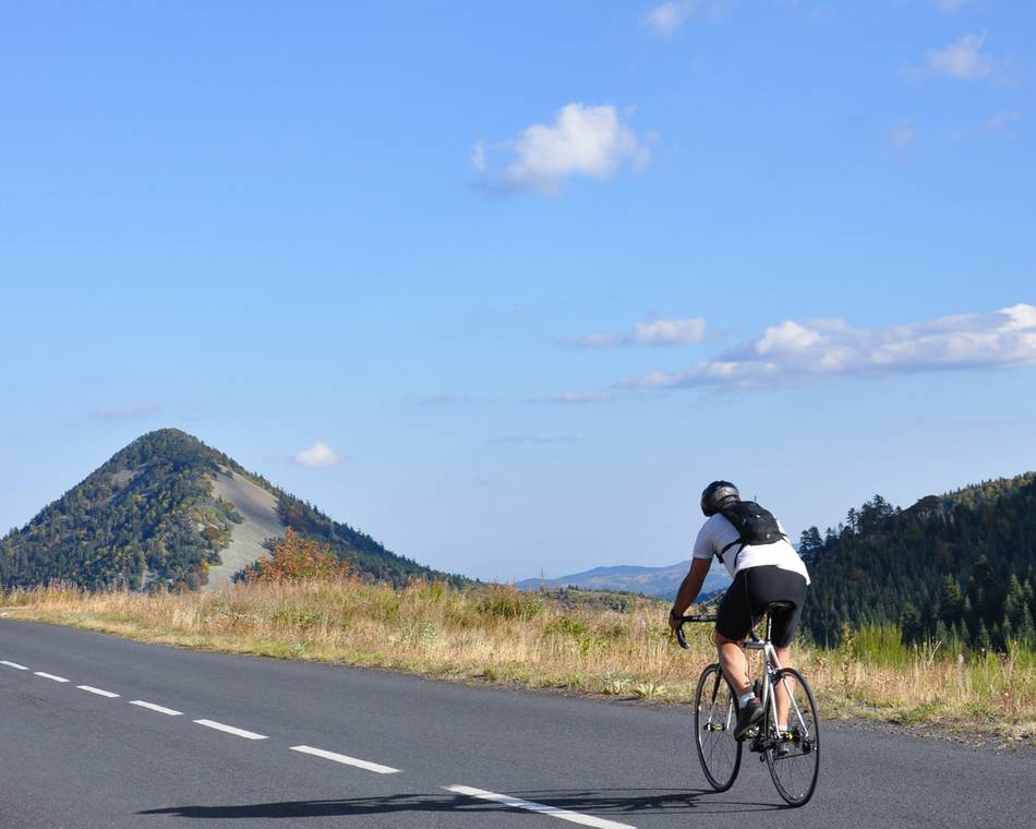
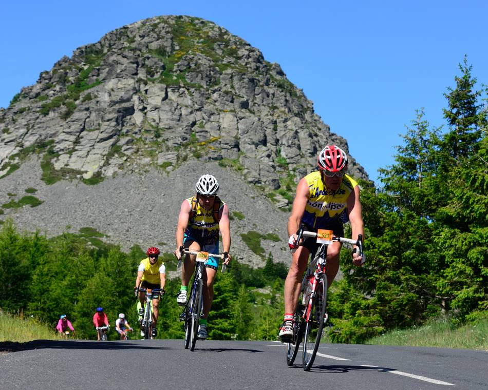
De Sucs route is het hoogtepunt van Sur les Routes de l'Ardéchoise. Landschappen gevormd door vulkanisme, gekenmerkt door immense wildernis. Een ruig berggebied dat de Ardèche zijn hoogste top geeft, de Mézenc. Een sportieve uitdaging, bijna een evenwichtsoefening op de waterscheiding tussen de Atlantische Oceaan en de Middellandse Zee, onderbroken door prachtige panoramische uitzichten op de Alpen en typische bergdorpjes.
Tarifs
Ouverture
Kenmerken
Gesproken talen
- Frans
Documents à télécharger
Interactieve kaart
À voir aussi
on recommande !
L'Ardéchoise : Les Hautes Terres
Saint-Félicien
on recommande !
L'Ardéchoise : L'Ardèche
Saint-Félicien
on recommande !
L'Ardéchoise : L'Allier
Saint-Félicien
on recommande !
L'Ardéchoise : L'Ardéchoise Vélo Marathon
Saint-Félicien
on recommande !
L'Ardéchoise : La Châtaigne
Saint-Félicien
on recommande !
L'Ardéchoise : L'Ardèche Verte
Saint-Félicien
on recommande !
L'Ardéchoise : L'Ardèche Verte - Cance
Saint-Félicien
on recommande !
L'Ardéchoise : La Méridionale
Saint-Félicien
on recommande !
L'Ardéchoise : La Montagne Ardéchoise
Saint-Félicien
on recommande !
L'Ardéchoise : La Loire
Saint-Félicien
on recommande !
L'Ardéchoise : Le Tanargue
Saint-Félicien
on recommande !
L'Ardéchoise : les Boutières
Saint-Félicien
on recommande !
L'Ardéchoise : Les Gorges
Saint-Félicien
on recommande !
L'Ardéchoise : la Volcanique
Saint-Félicien
on recommande !
L'Ardéchoise : Les Sucs
Saint-Félicien
on recommande !
L'Ardéchoise
Saint-Félicien

