L'Ardéchoise : Les Hautes Terres
Distance : 346 km
Dénivelé : 6540 m
Village
07410 SAINT-FÉLICIEN
07410 SAINT-FÉLICIEN
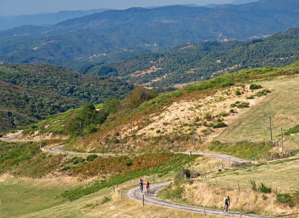
Hier dagen de vulkanen en vennen van de Ardèche hun beroemde buren in de Auvergne uit. De bergen van de Ardèche laten zich van hun Atlantische kant zien, met uitzonderlijke zonneschijn en schitterende landschappen die de 21 beklimmingen begeleiden, die bijna allemaal meer dan 1000 meter hoog zijn. De passen zijn ontmoedigend, maar de beloningen zijn magnifiek: Mont Mézenc, het hoogste punt in de Ardèche, Sainte-Eulalie aan de voet van de Mont Gerbier de Joncs. Een verplichte stop aan de oevers van een vulkaanklompje, het Issarlès-meer, omringd door dennenbossen en basaltstromen. Fris en puur!
Documents à télécharger
Profil altimétrique
Distance :
346 km
Dénivelé :
6540 m

