Tournon Nord
-
Tourist office partner
-
Quai Farconnet
07300 TOURNON-SUR-RHÔNE - Contact by email
- +33 4 75 08 10 23
- https://www.onpiste.com/explorer/r…
Itinerary
- Distance:
- 49 km
- Elevation:
- 1115 m
Description
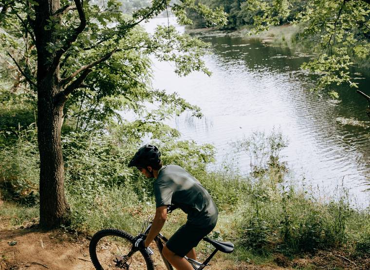
The climb to the plateau offers views of the end of the Doux gorges. You then cross the plateau, passing through small valleys that are both playful and steep. The climax comes at Lac des Meinettes with its playful single track.
You'll follow the Doux river to the historic Ardèche train station, before tackling a challenging climb up to the heights of Tournon sur Rhône.
The route continues to the village of Etables, alternating between ascents, descents and technical sections. Rolling through the fields, you eventually reach the Lac des Meinettes.
Follow the winding path along the lake, crossing wooden footbridges on several occasions - be careful, they can be slippery.
You continue on wide, rolling tracks through fields and orchards.
The first descent is fast and rolling through the undergrowth, before plunging into the valley and orchards.
Next, a long but not too technical climb, then through vineyards to a nice technical descent with hairpin bends.
Return to Tournon sur Rhône by road.
Prices
Free of charge.
Opening
All year round.
Characteristics
Languages spoken
- English
- French
Services
- Parking nearby
- Bike repair
- Bike inflation


