Saint Victor
-
Tourist office partner
-
Place de l'église
07410 SAINT-VICTOR - Contact by email
- +33 4 75 06 06 12
- https://www.onpiste.com/explorer/r…
Itinerary
- Distance:
- 42 km
- Elevation:
- 777 m
Description
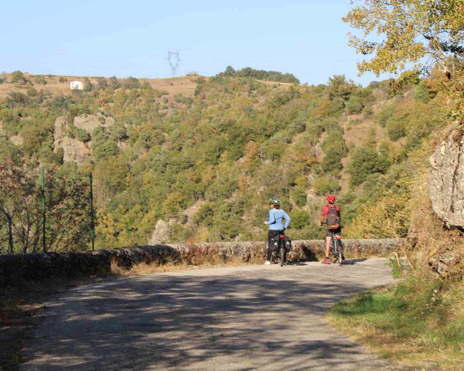
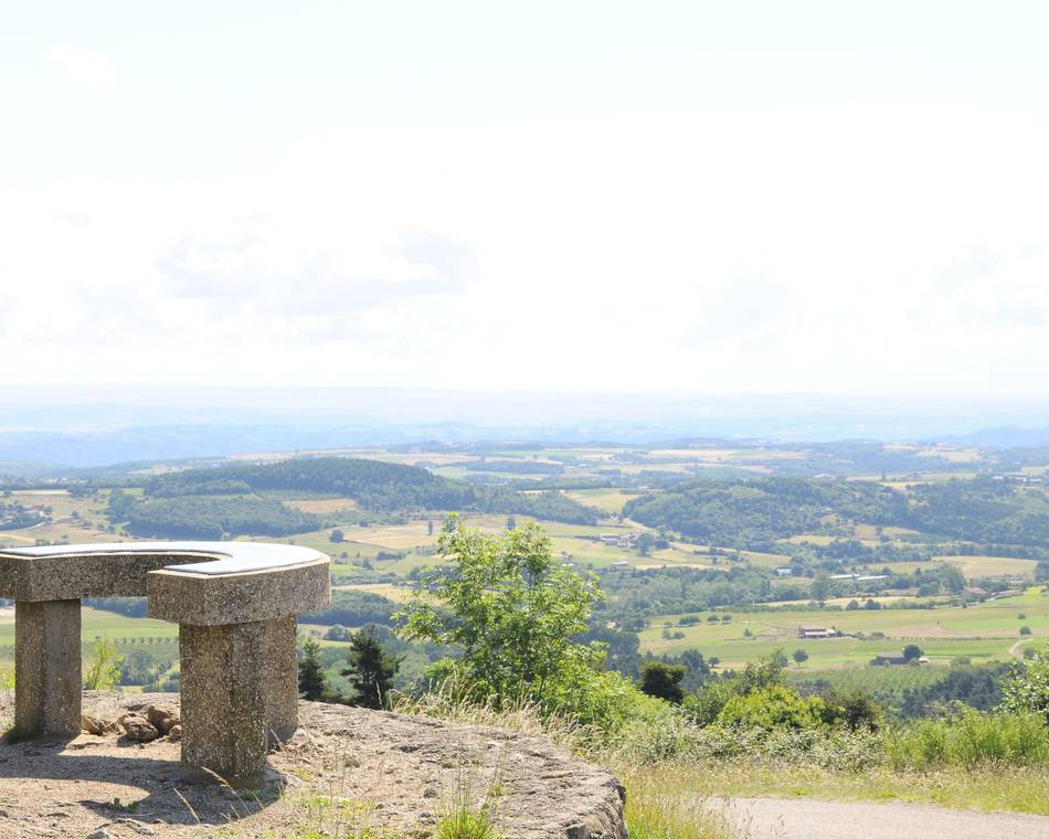
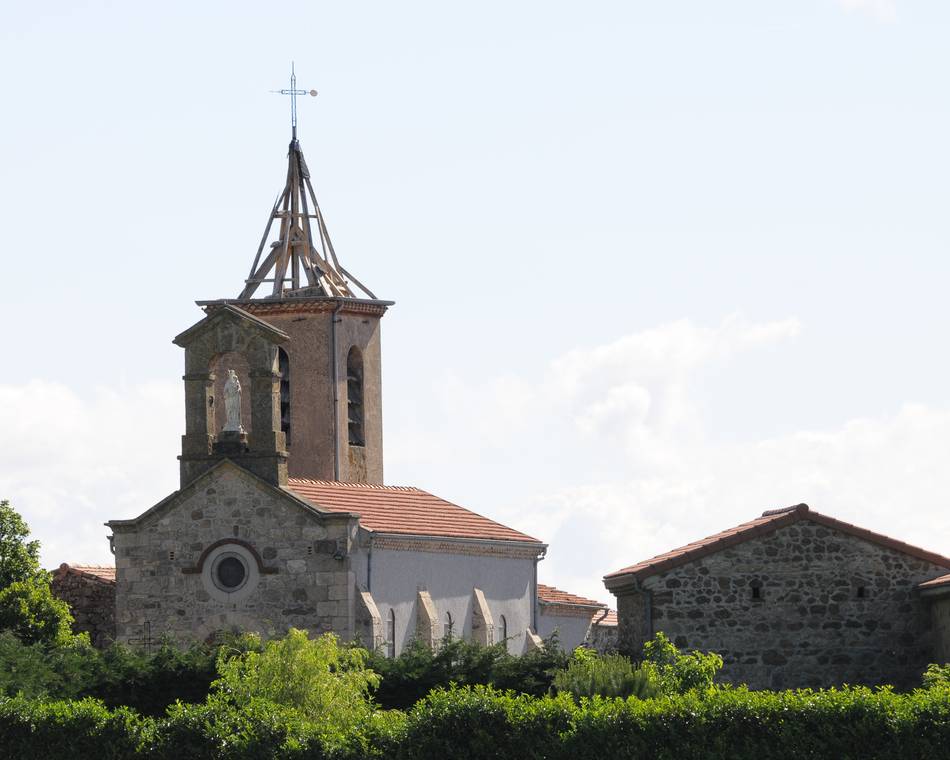
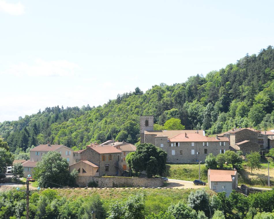
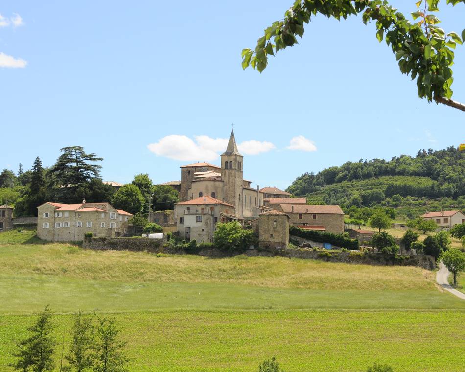
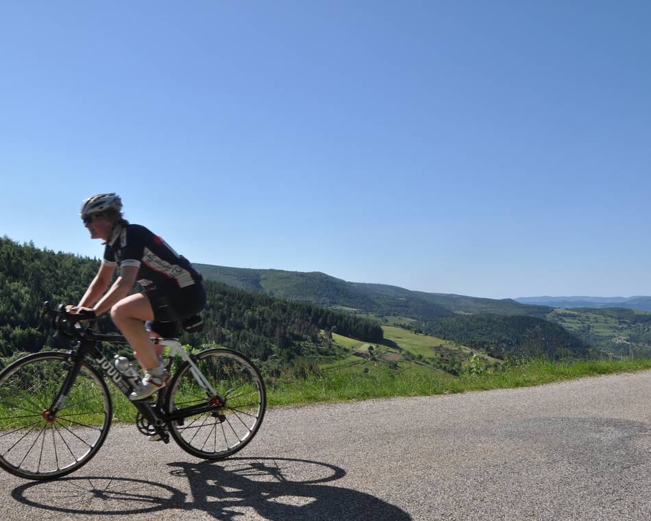
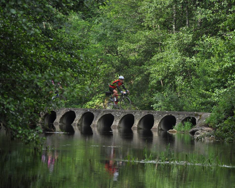
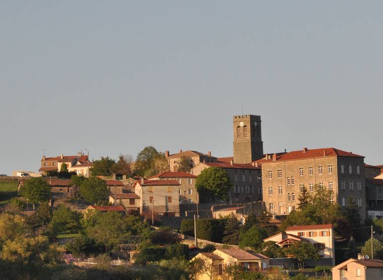
The route winds its way through the countryside, passing by the commune's 3 bell towers, before plunging into the Daronne Valley and climbing steeply back up to the village. Short but tough.
Topoguide on sale for €1 at our reception desks.
Prices
Free of charge.
Opening
All year round.
Characteristics
Languages spoken
- French
Documents to download
Interactive map
See also
