Hiking Trail: "The Mercurol Heights"

-
Tourist office partner
-
Randonnée "Les Hauts de Mercurol"
Panneau info rando. Parking sous l'église, au bord de la D 115
26600 MERCUROL-VEAUNES - Contact by email
- +33 4 75 08 10 23
- https://rando-ardeche-hermitage.fr…
Itinerary
- Distance:
- 8 km
- Elevation:
- 232 m
- Daily duration:
- 2h 45min
Description
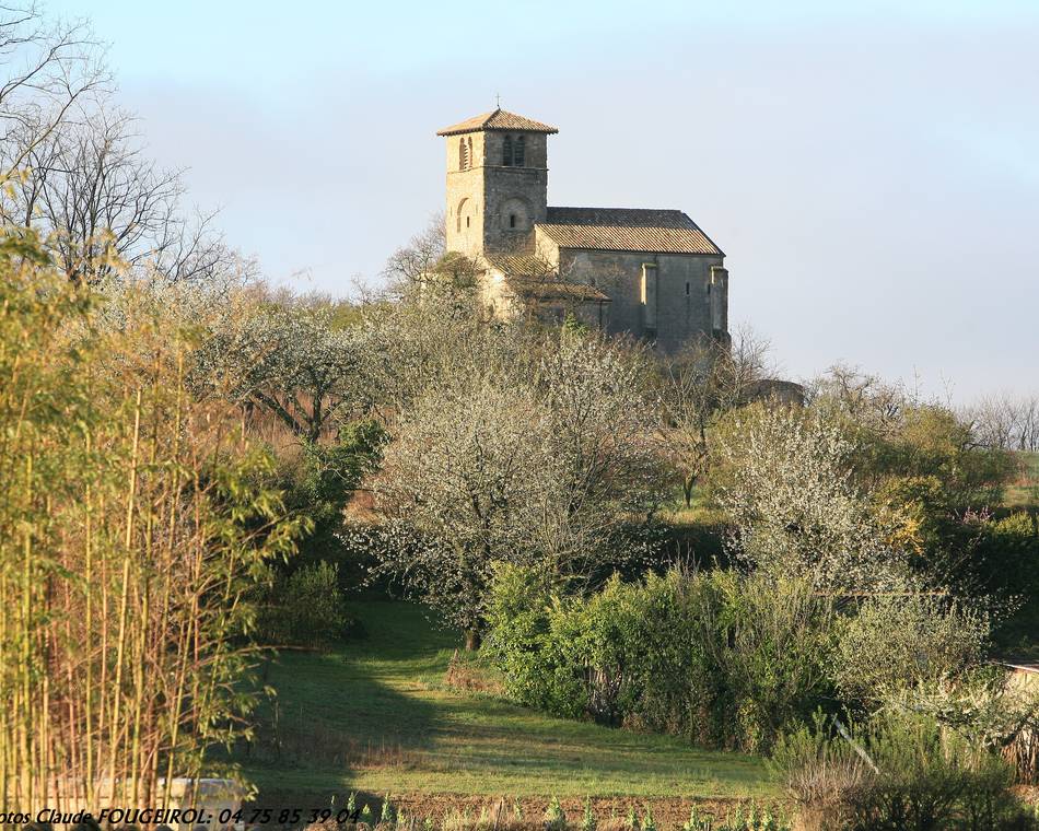
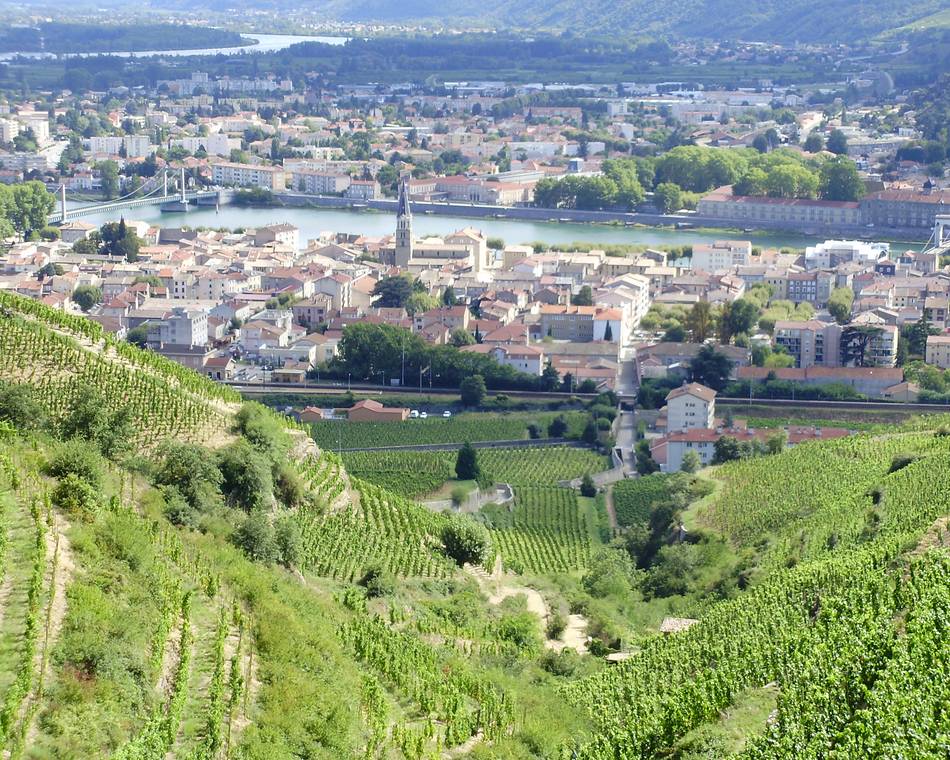
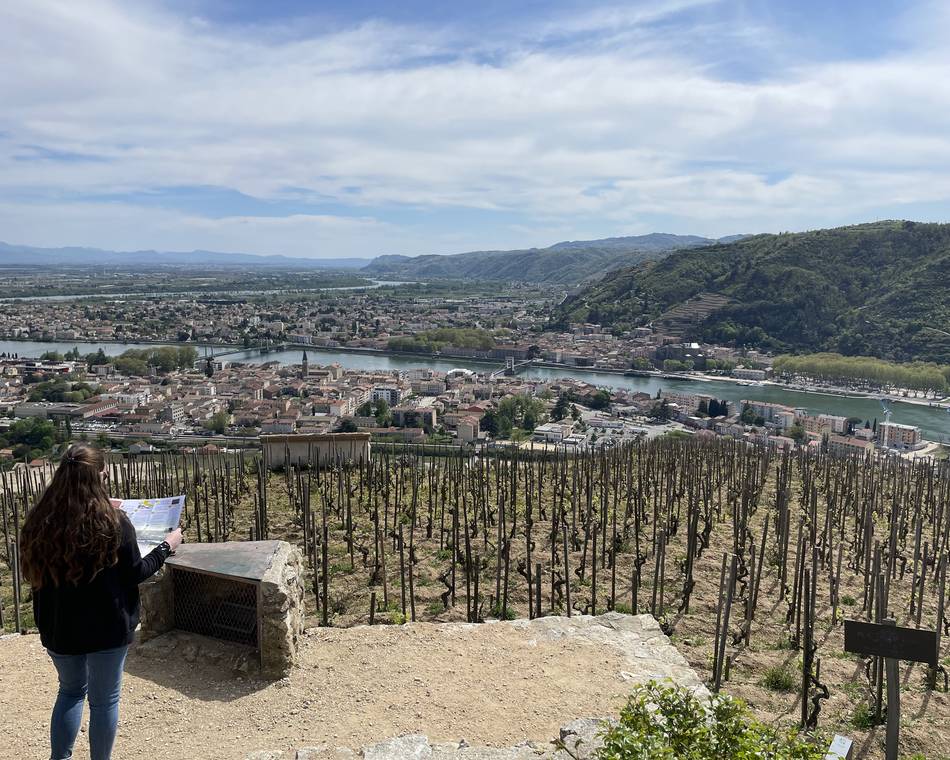
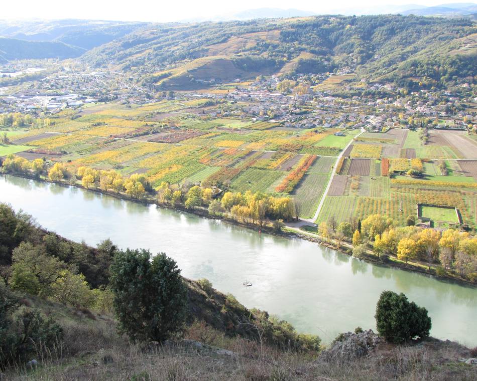
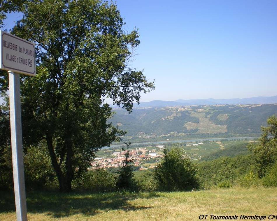
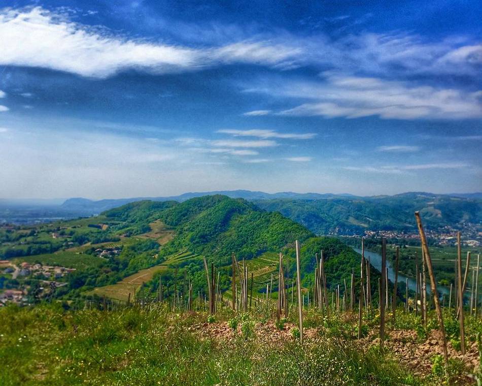
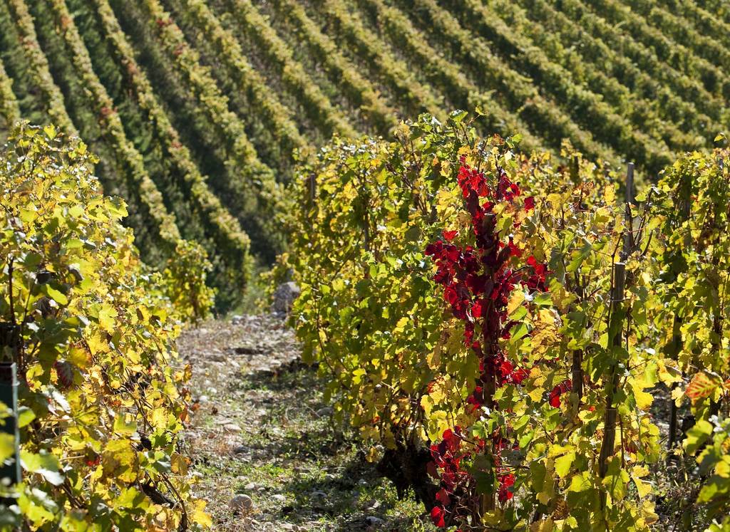
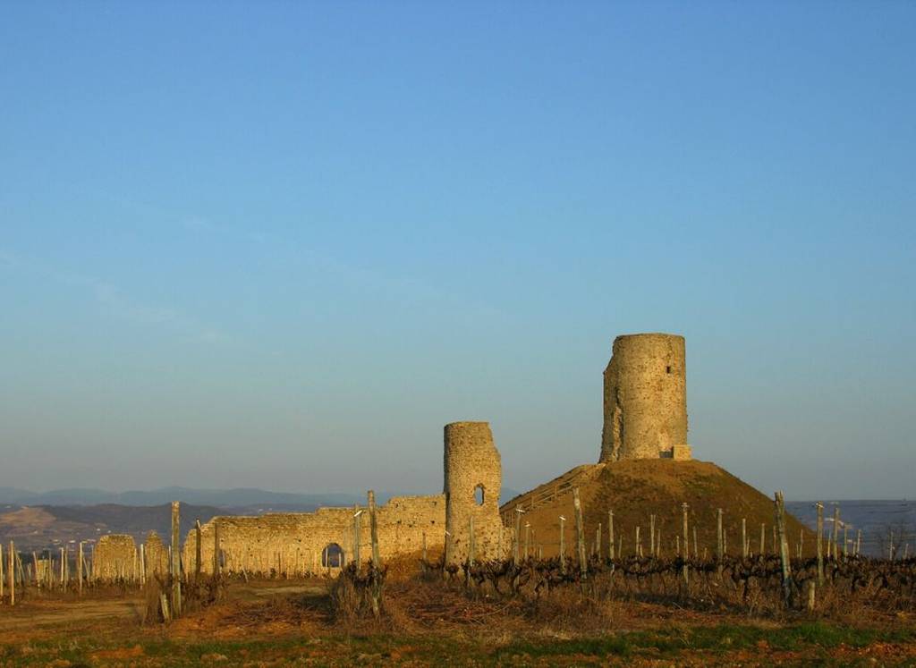
A gentle walk in the Mercurol hillside.
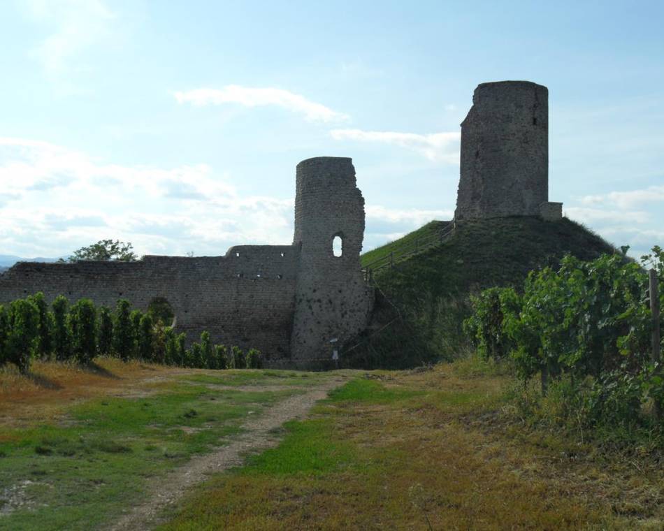
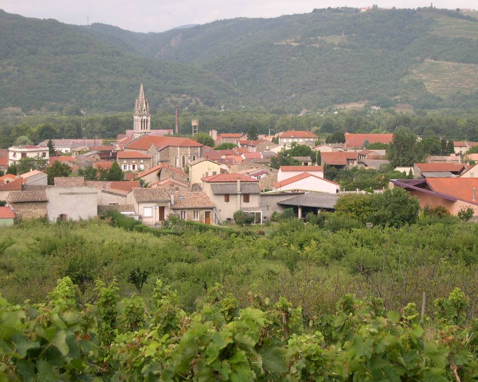
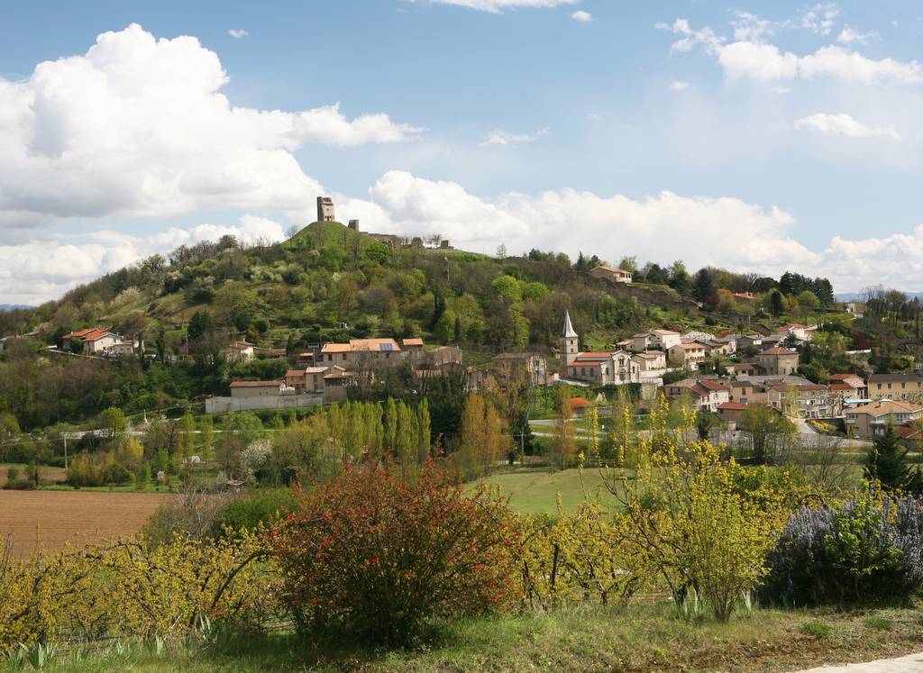
View over the Tain l'Hermitage/Chanos-Curson valley, the Mercurol tower and Conflans Castle.
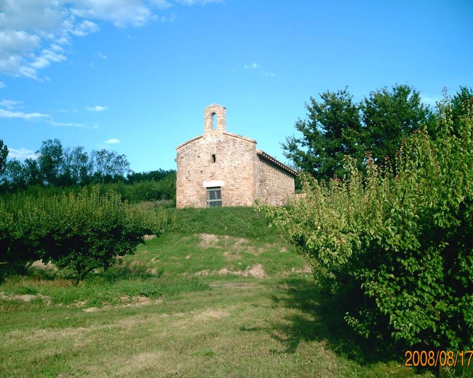
Go up towards the church. At the top of a staircase, head south, passing to the left of a water tank. On the hillside, take a dirt track, pass under the high-voltage power line and descend to Château de Conflans (45 mins.). Drive around the castle, then around the Chanos-Curson cemetery. At Maubet, take a sunken path up to the ridge. Head north for 30 minutes. At the Veaunes cemetery, go down the D115 for 250m and turn right. Join a path in the woods, then cross the D115 again: return on a hillside path beneath the Mercurol tower.
Prices
Free of charge.
Opening
Tour
Individual tour average time: 165min
Characteristics
Languages spoken
- English
- French
Services
- Pets welcome
Documents to download
Seminar and reception rooms
Interactive map
See also