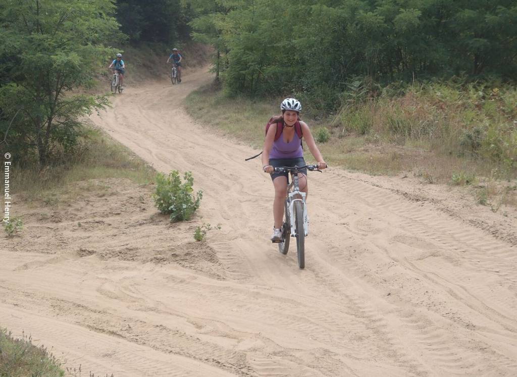
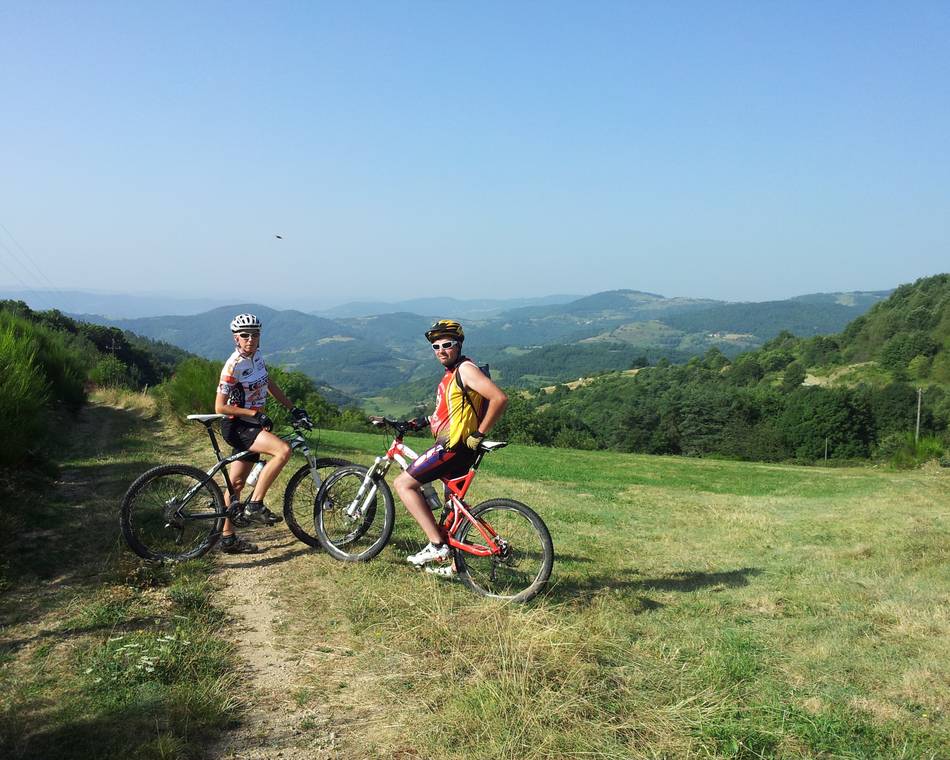
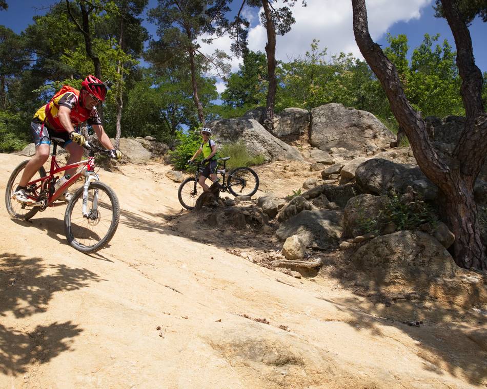
Mountain bike Journey : The sandy hills

-
Tourist office partner
-
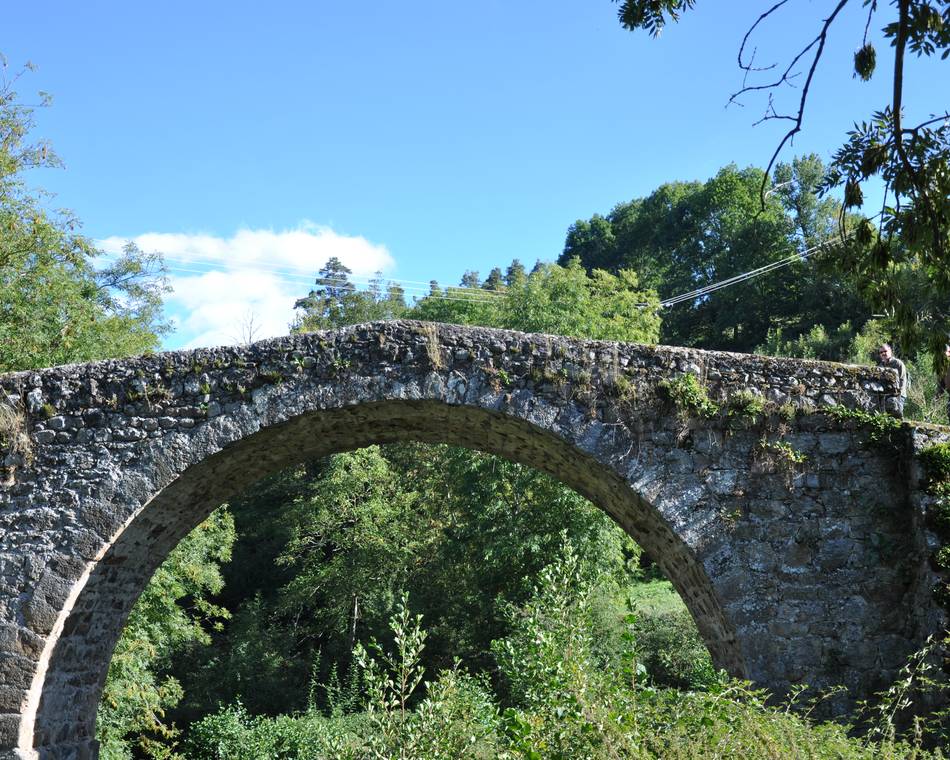
Pont de Chabran
26260 SAINT-DONAT-SUR-L'HERBASSE - Contact by email
- +33 4 75 08 10 23
- https://www.onpiste.com/explorer/r…
Itinerary
- Distance:
- 31 km
- Elevation:
- 600 m
- Daily duration:
- 4h
Description
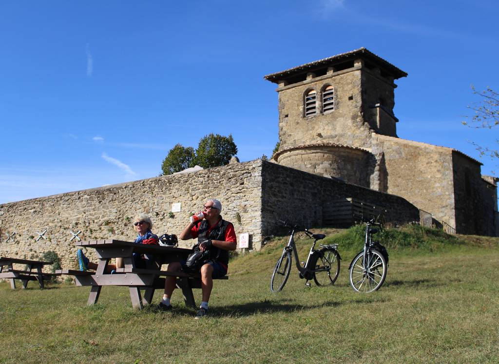
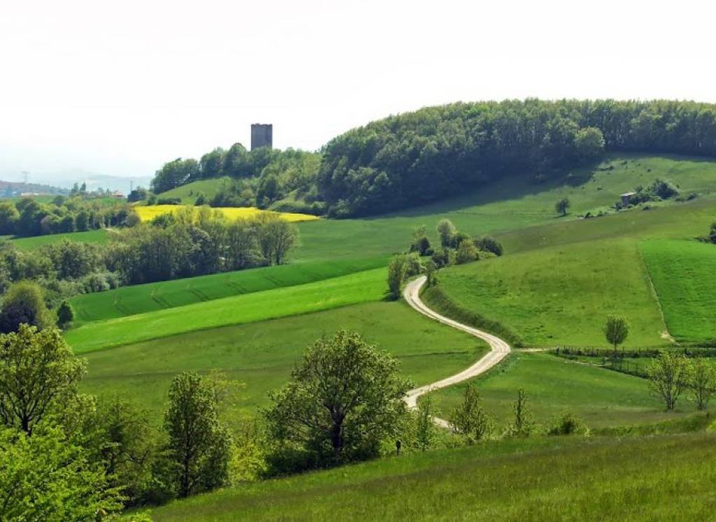
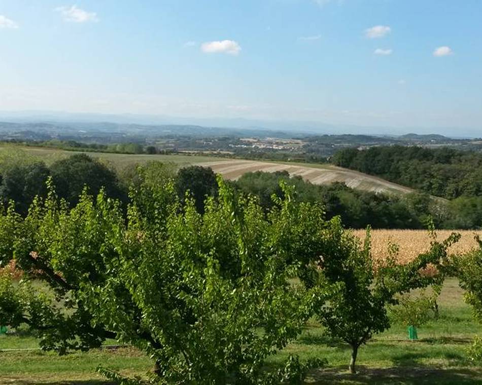
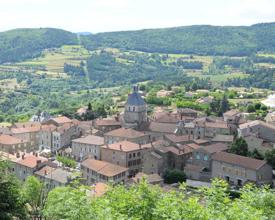
It is the South in the Drôme des Collines. The vegetation is Mediterranean and the sandy terrain will give the impression of a beach. The view of the Ratières Tower is panoramic.
Prices
Free access.
Opening
All year round.
Tour
Individual tour average time: 240min
Characteristics
Languages spoken
- French
Services
- Not accessible in a wheelchair
Documents to download
Seminar and reception rooms
Interactive map
See also
Tourist office partner
FFC-Mountain bike trail: Hermitage hillside paths
Tain-l'Hermitage
Tourist office partner
Mountain Bike : Around the Herbasse
Saint-Donat-sur-l'Herbasse
Tourist office partner
Col du Buisson
Pailharès
Tourist office partner
N°5 : Le Banchet
Arlebosc
Tourist office partner
Mountain bike loop "La combe Oternaud et le bois de Sisay"
Saint-Donat-sur-l'Herbasse
Tourist office partner
Moulin des Gaillards
Vaudevant
Tourist office partner
N°2 : Col du Juvenet
Vaudevant
Tourist office partner
N°3 : Col du Gibet
Saint-Félicien
Tourist office partner
N°13 : Lac de Choisine
Colombier-le-Vieux

