Gibet Pass

-
Tourist office partner
-
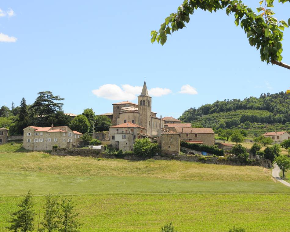
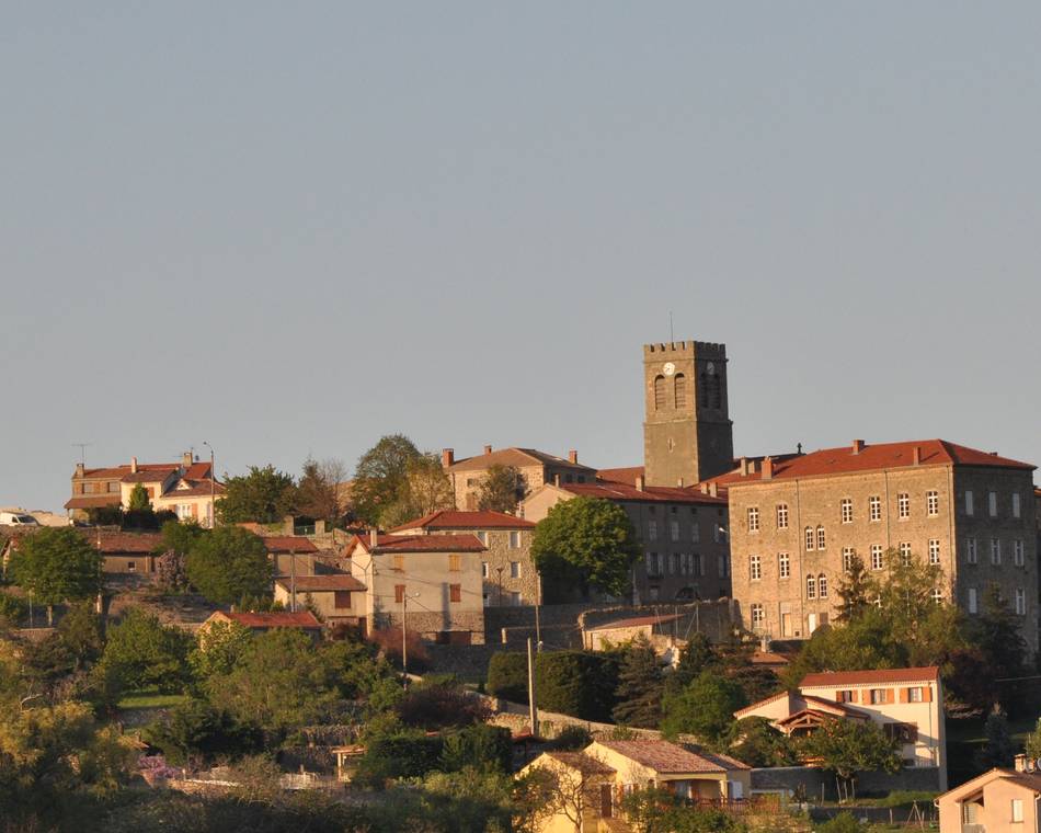
Village
07410 VAUDEVANT - Contact by email
- +33 4 75 08 10 23
- +33 4 75 06 06 12
- https://rando-ardeche-hermitage.fr…
Itinerary
- Distance:
- 14 km
- Elevation:
- 350 m
- Daily duration:
- 5h
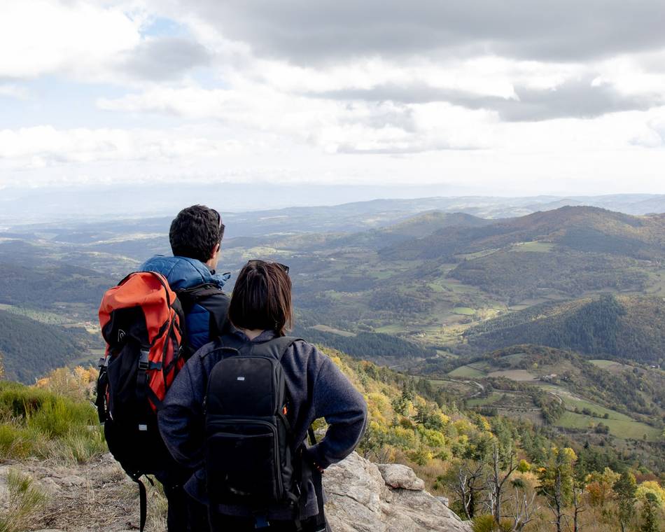
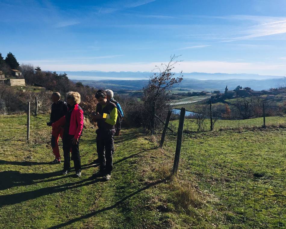
Description
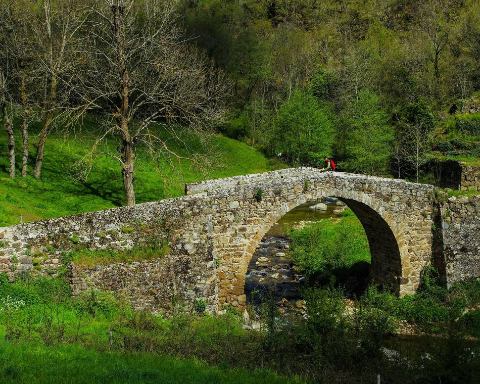
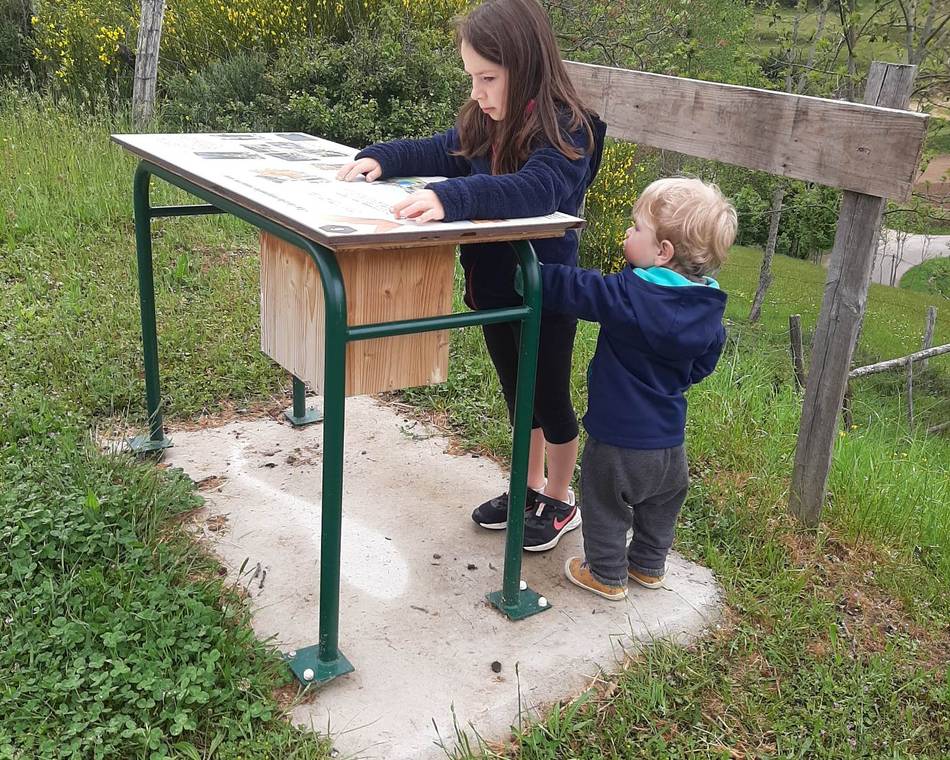
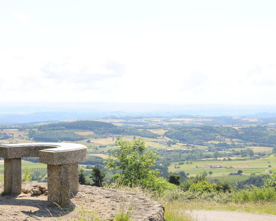
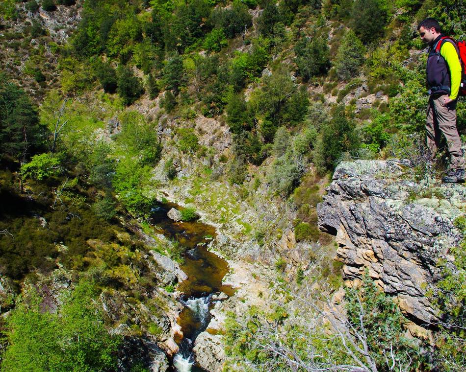
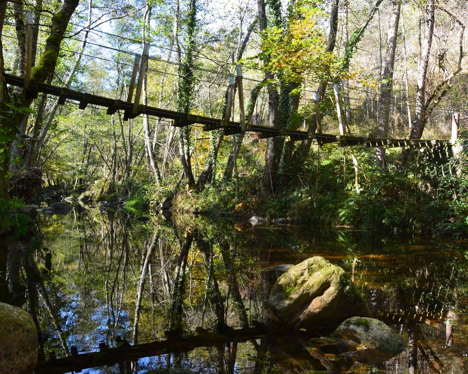
A cool, refreshing trail, mainly through woods, with many fine views. From small villages and hamlets you follow a long forest path up to the crests overlooking Vaudevant. A refreshing route mainly through woods with lovely panoramic views. From hamlet to hamlet, then along a long forest track, you follow the ridges overlooking Vaudevant.
Prices
Opening
Tour
Individual tour average time: 300min
Characteristics
Languages spoken
- English
- French
Services
- Pets welcome
Documents to download
Interactive map
See also
Tourist office partner
Moulin des Gaillards
Saint-Félicien
Tourist office partner
Randonnée de Brudon à Sauze
Vaudevant
Tourist office partner
Montplot
Saint-Victor
Tourist office partner
The Daronne Gorges
Colombier-le-Vieux
Tourist office partner
The Malaurier woods
Bozas
Tourist office partner
The Marchand Pass
Pailharès
Tourist office partner
The castle circuit
Arlebosc
Tourist office partner
Chantelermuze
Saint-Victor
Tourist office partner
Raillon
Saint-Félicien

