L'Ardéchoise : Les Sucs
-
Tourist office partner
-
Village
07410 SAINT-FÉLICIEN - Contact by email
- +33 4 75 08 10 23
- +33 4 75 06 06 12
- https://www.ardechoise.com/
Itinerary
- Distance:
- 234 km
- Elevation:
- 4310 m
- Roaming duration:
- 3 days
Description
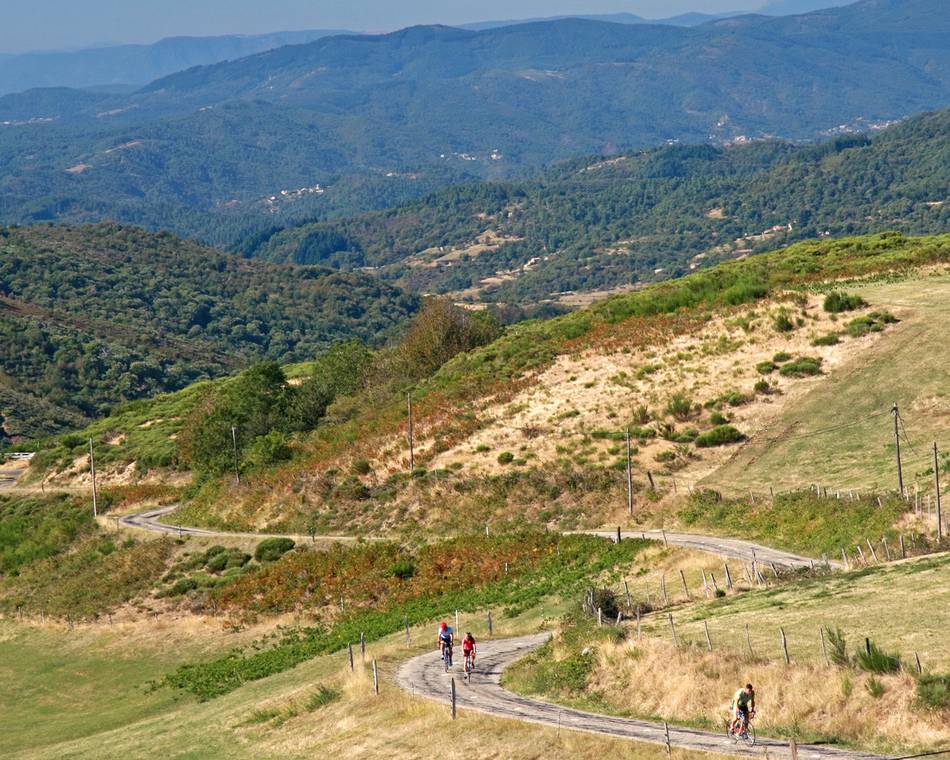
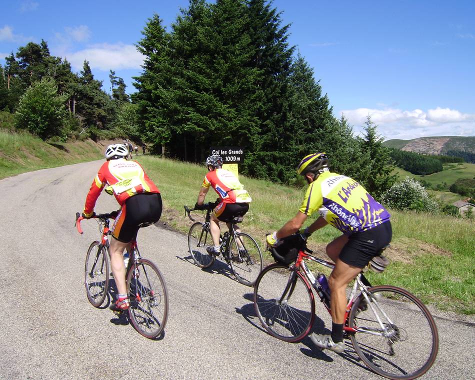
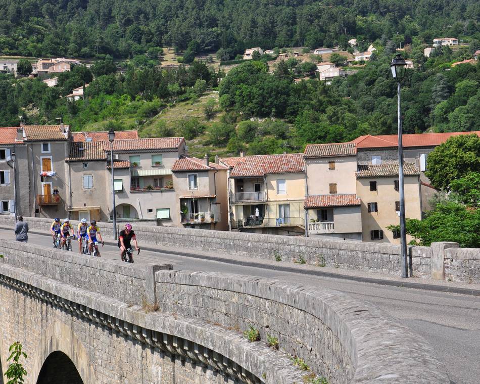
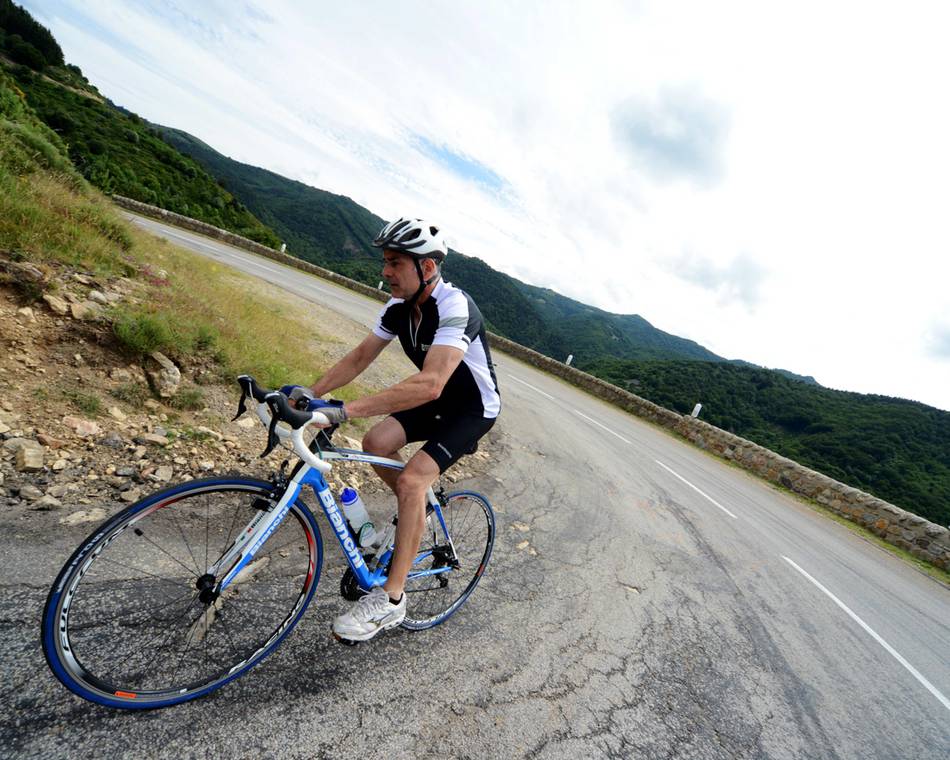
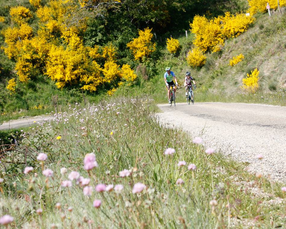
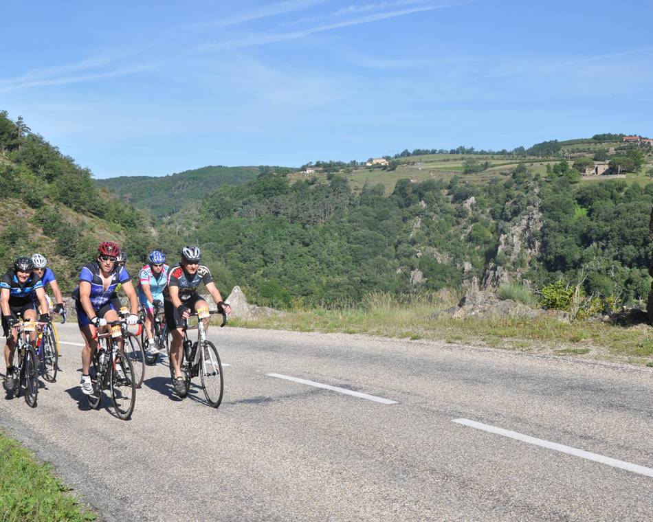
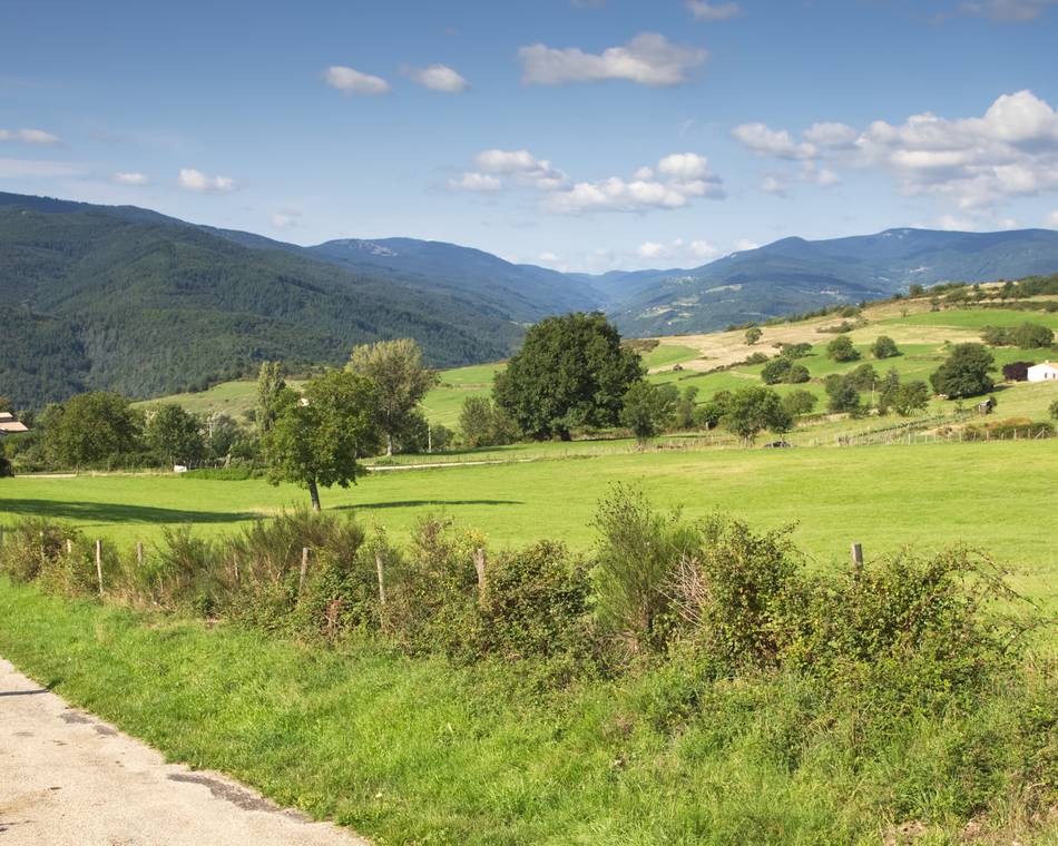
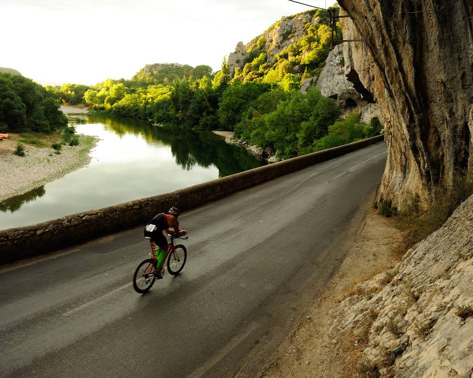
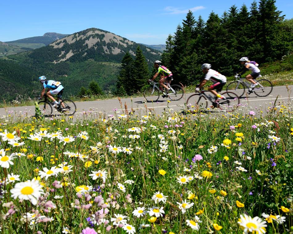
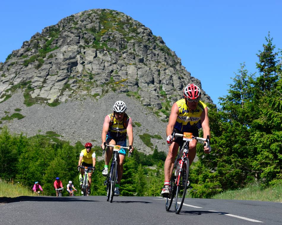
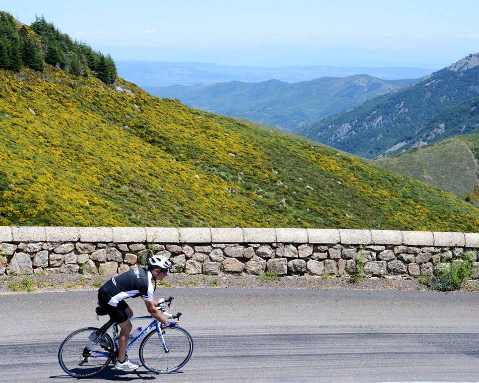
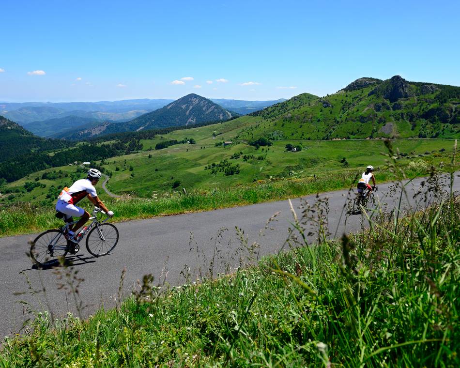
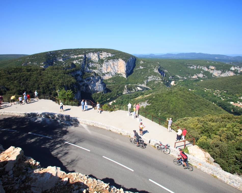
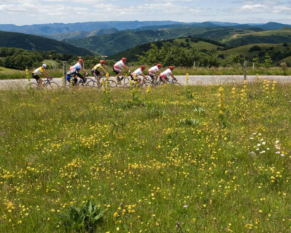
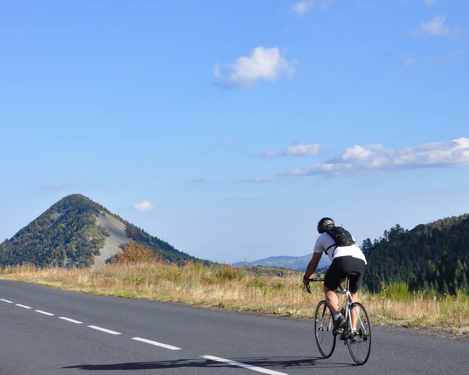
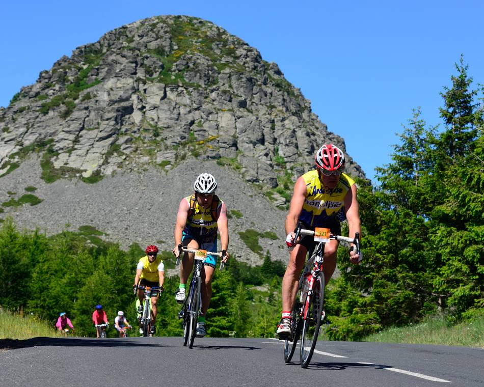
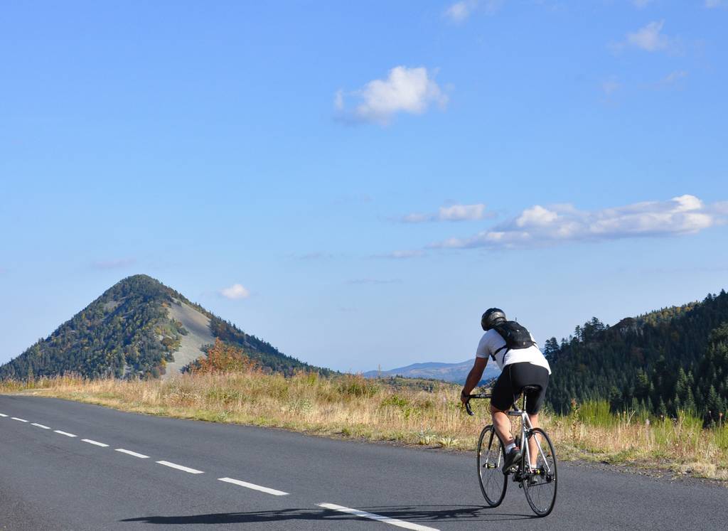
The route des sucs is the highlight of Sur les Routes de l'Ardéchoise. Landscapes shaped by volcanism, marked by immense wilderness. A rugged mountainous region that gives the Ardèche its highest peak, the Mézenc. Onwards and updwards... Les Sucs section marks the highest summit of the Ardéchoise course. The natural landscape is shaped by volcanoes that appear even more imposing due to the vast open spaces in between. A hash mountainous land which lays claim to Le Mézenc, the highest peak in Ardèche. A sporting challenge running almost equitably along the Atlantic and Mediterranean slopes, this circuit boasts some beautiful scenery, superb panaromic views over the Alpine range and, of course, typical mountain villages.
Prices
Opening
Characteristics
Languages spoken
- French
Documents to download
Interactive map
See also