Parcours VTT N°10
-
Tourist office partner
-
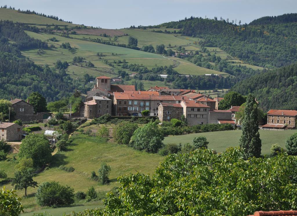
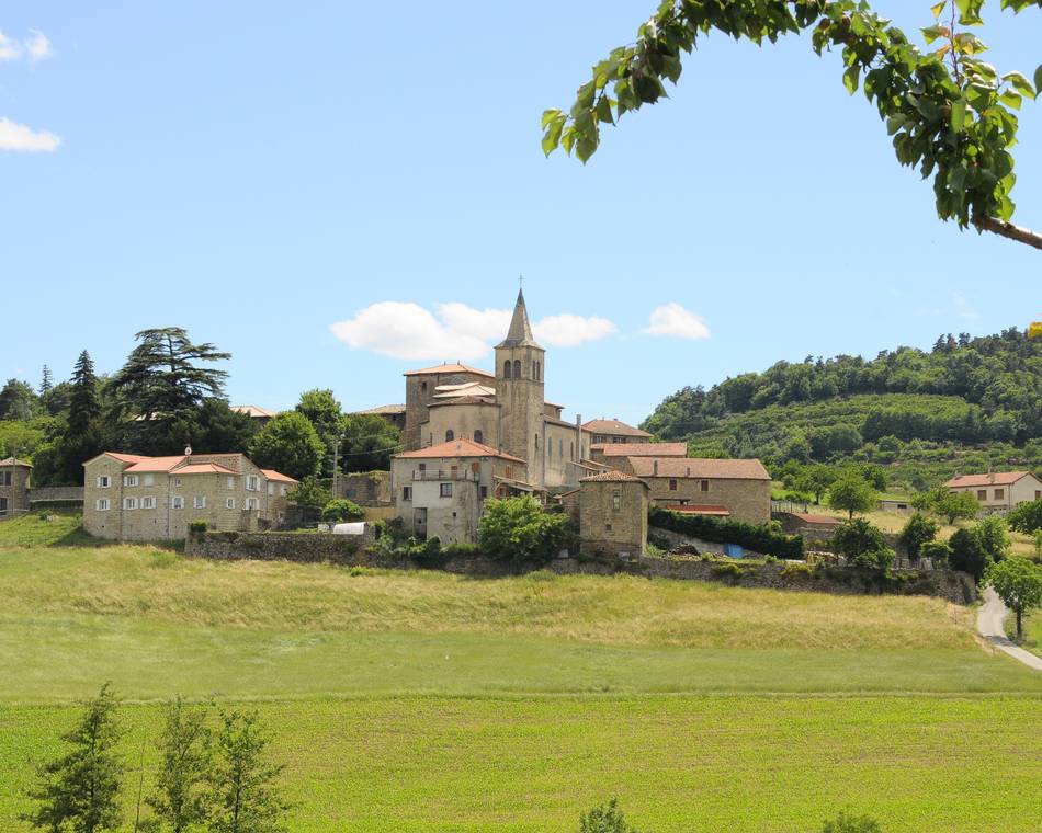
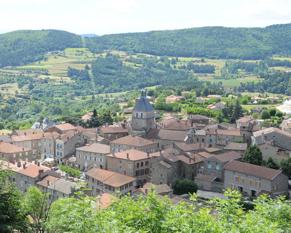
Centre village
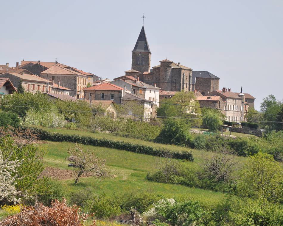
07410 PAILHARÈS - Contact by email
- +33 4 75 08 10 23
- +33 4 75 06 06 12
- https://www.onpiste.com/explorer/r…
Itinerary
- Distance:
- 10 km
- Elevation:
- 554 m
Description
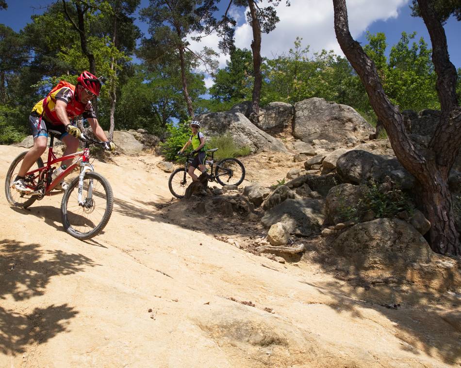
MTB route N°10 red according to the French Cycling Federation rating.
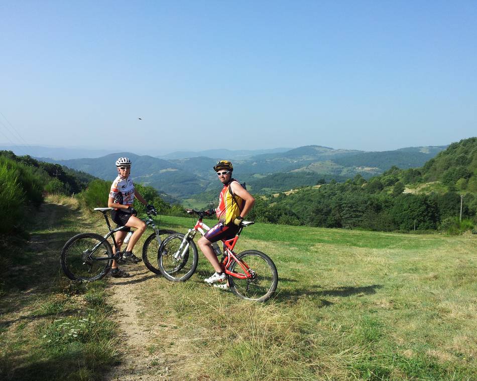
The circuit begins with a fairly steady climb to the Serre de Verne and its superb panorama. The descent via the Col du Marchand is both technical and fun.
Prices
Opening
Characteristics
Languages spoken
- English
- French
Documents to download
Interactive map
See also
Tourist office partner
N°4 : Bois Madame
Bozas
Tourist office partner
Parcours VTT N°1
Saint-Félicien
Tourist office partner
Col du Buisson
Pailharès
Tourist office partner
N°5 : Le Banchet
Arlebosc
Site VTT FFC du Pays de Saint Félicien
Saint-Félicien
Tourist office partner
Moulin des Gaillards
Vaudevant
Tourist office partner
N°2 : Col du Juvenet
Vaudevant
Tourist office partner
N°3 : Col du Gibet
Saint-Félicien
Tourist office partner

N°13 : Lac de Choisine
Colombier-le-Vieux

