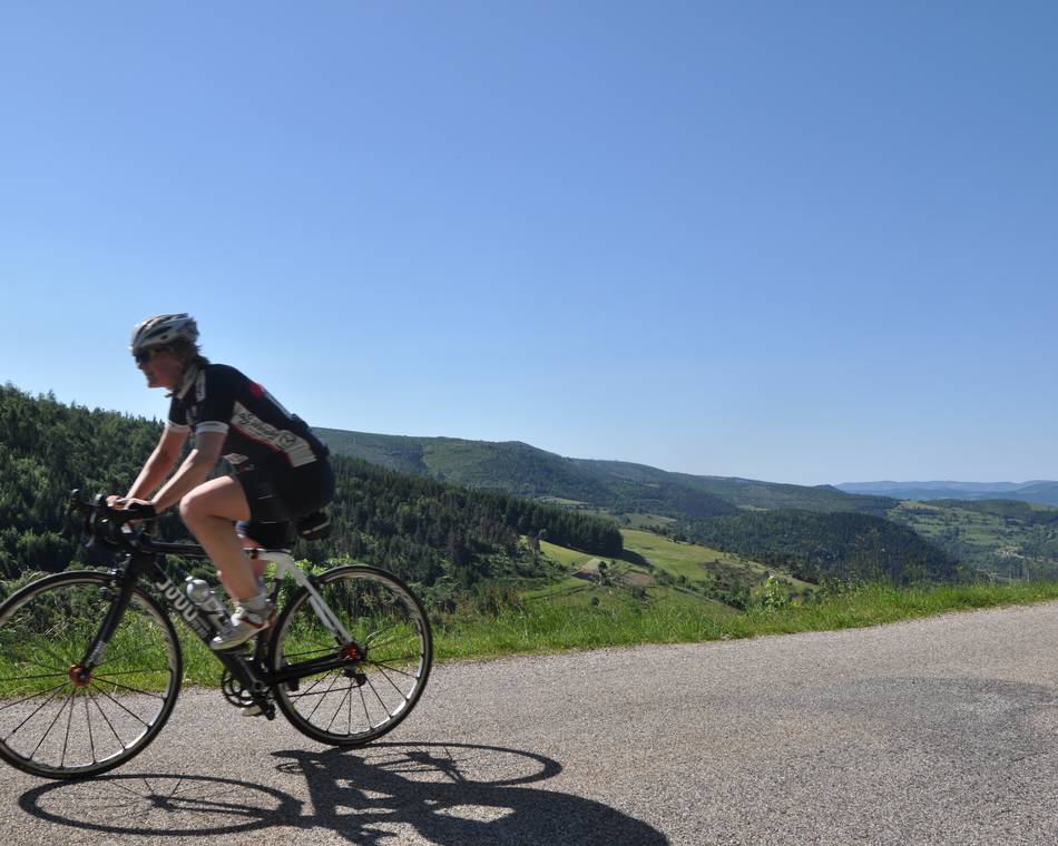
Val d'Ay
-
Unsere Partner
-
Office de tourisme
Place de l'hôtel de ville
07410 SAINT-FÉLICIEN - E-Mail senden
- +33 4 75 06 06 12
- https://www.onpiste.com/explorer/r…
Anfahrtsplan
- Distanz
- 62 km
- Höhe
- 1253 m
Beschreibung
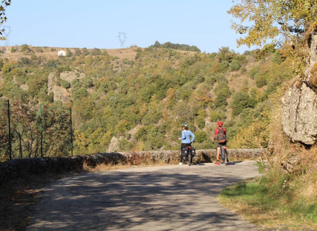
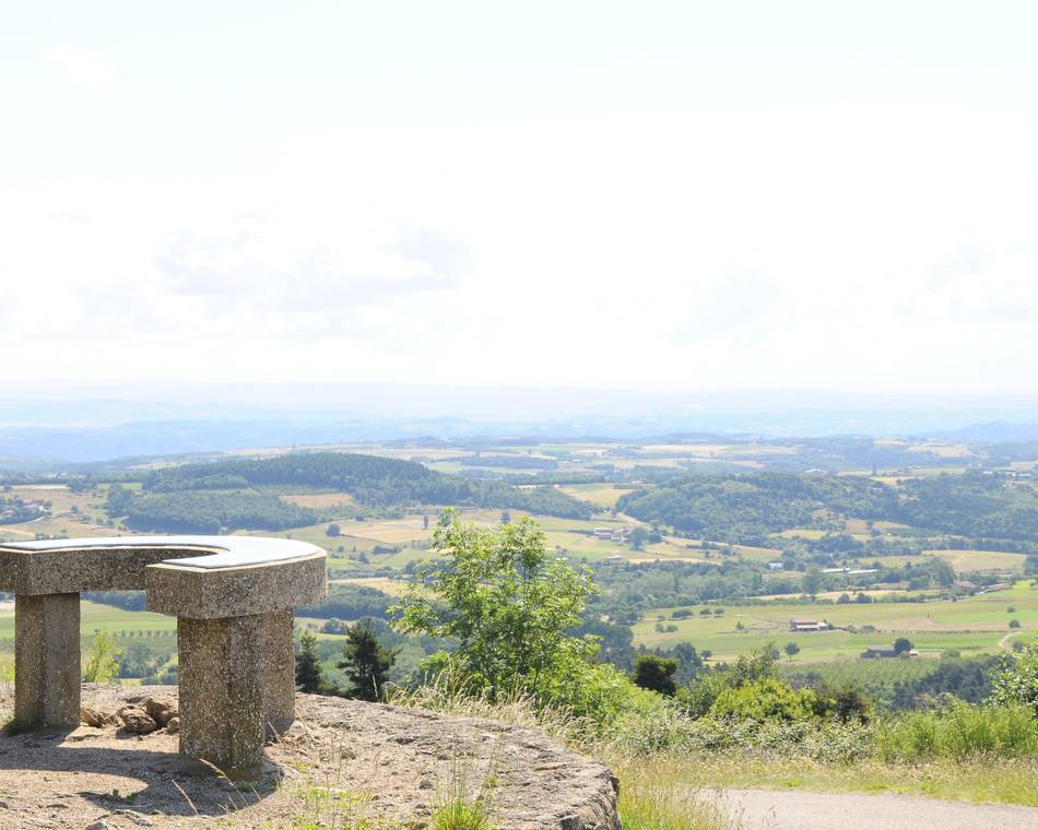
Die Tour durch das Val d'Ay führt an Notre Dame d'Ay und dem Dorf Lalouvesc mit seinem herrlichen Aussichtspunkt vorbei.
Geöffnet
Merkmale
Gesprochene Sprachen
- Französich
Broschüren runterladen
Interaktive Karte
Siehe auch
Unsere Partner
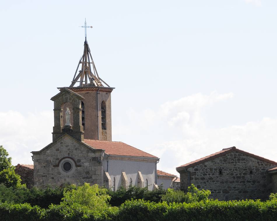
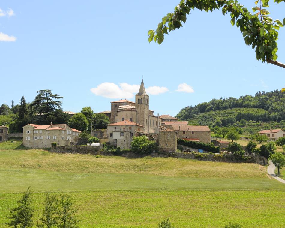
Vaudevant
Vaudevant
Unsere Partner
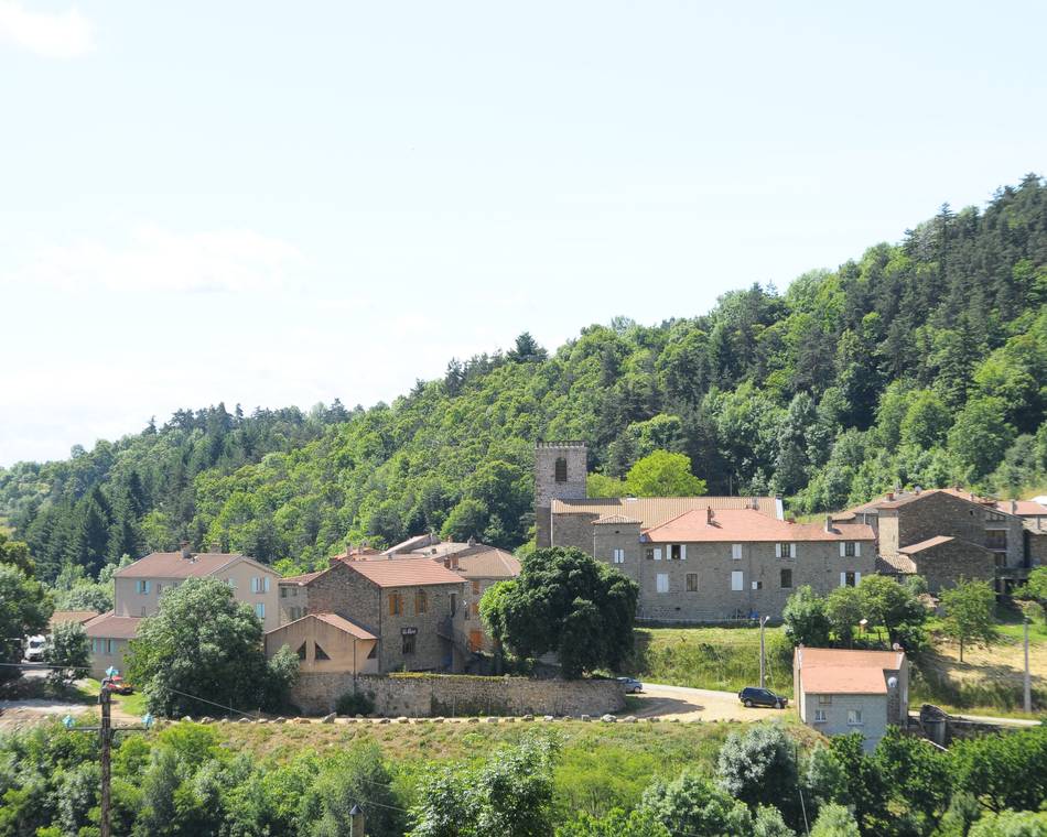
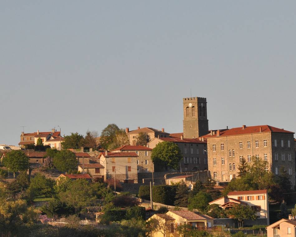
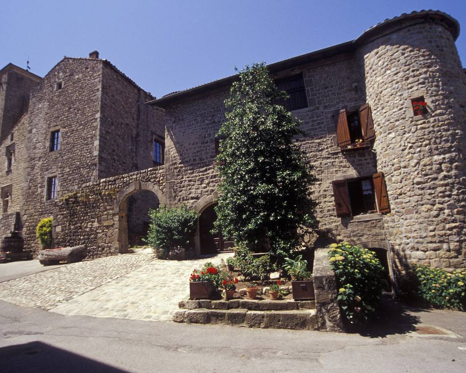
Saint Félicien
Saint-Félicien
Unsere Partner
Pailharès
Pailharès
Unsere Partner
Itinéraire Cyclo : Bozas
Bozas
Vaudevant
Vaudevant
Unsere Partner
Saint Victor
Saint-Victor
Unsere Partner
Tour du Haut Vivarais
Saint-Félicien
Unsere Partner
Parcours cyclotouristique "Tour du Pays de Lamastre"
Saint-Félicien
Unsere Partner
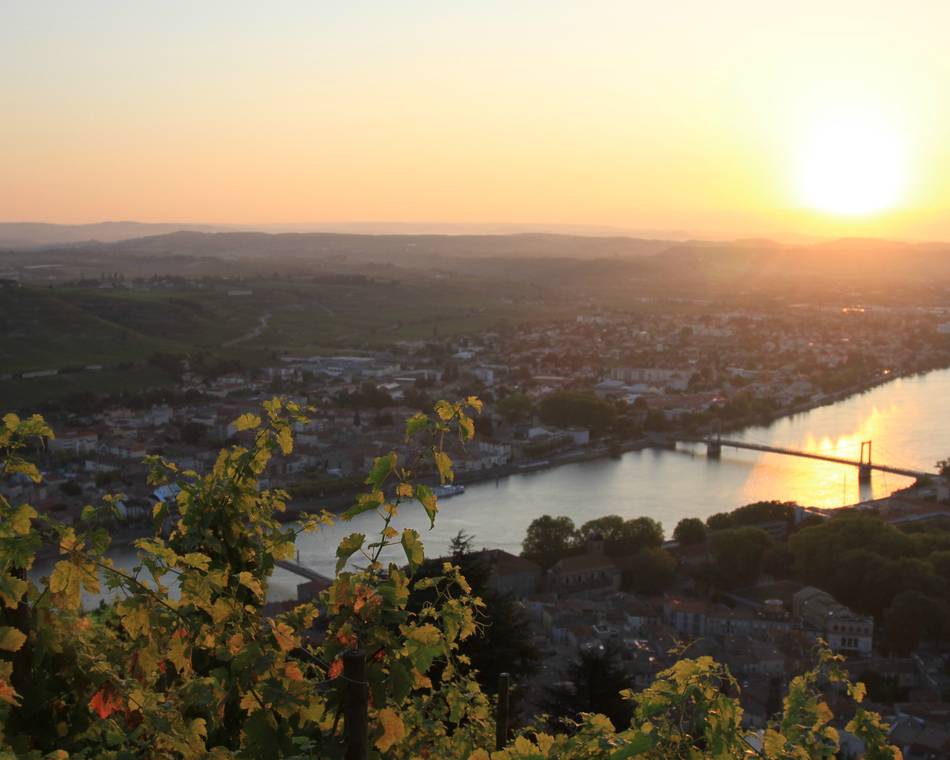
"Balcons du Rhône et ses affluents"
Saint-Félicien
Unsere Partner
Colombier le Vieux
Colombier-le-Vieux

