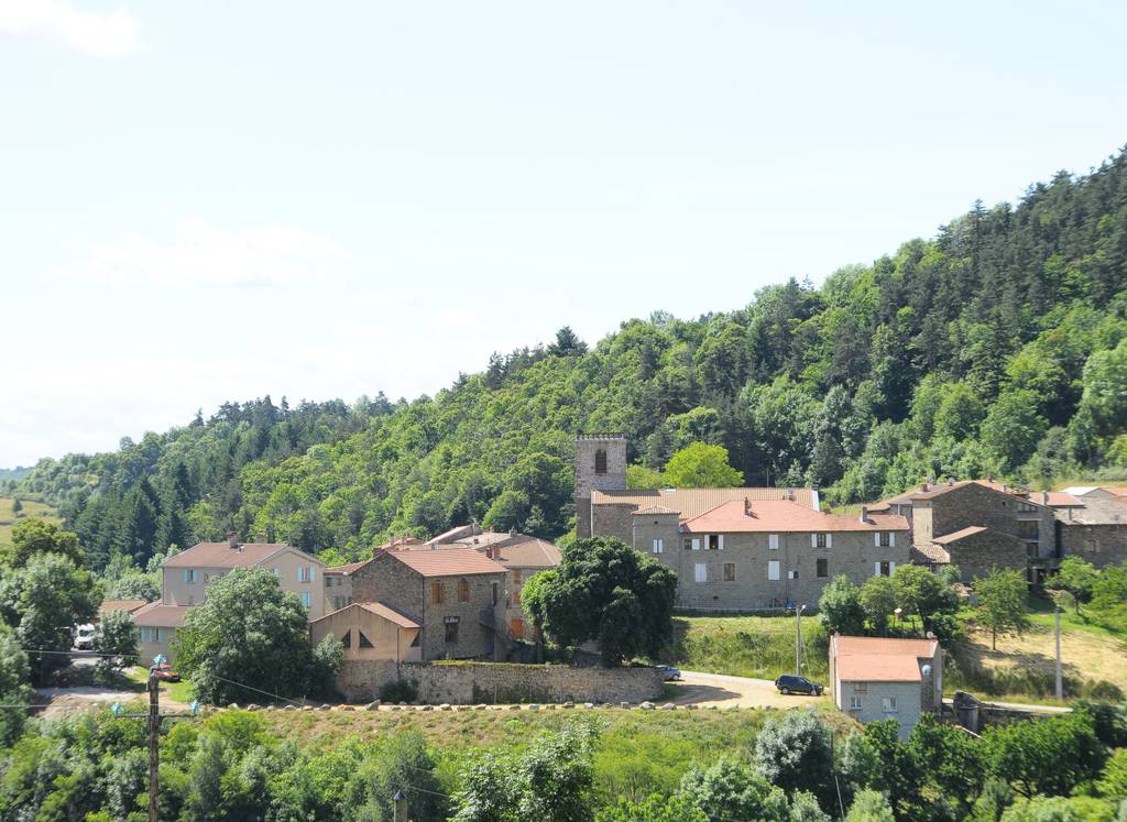
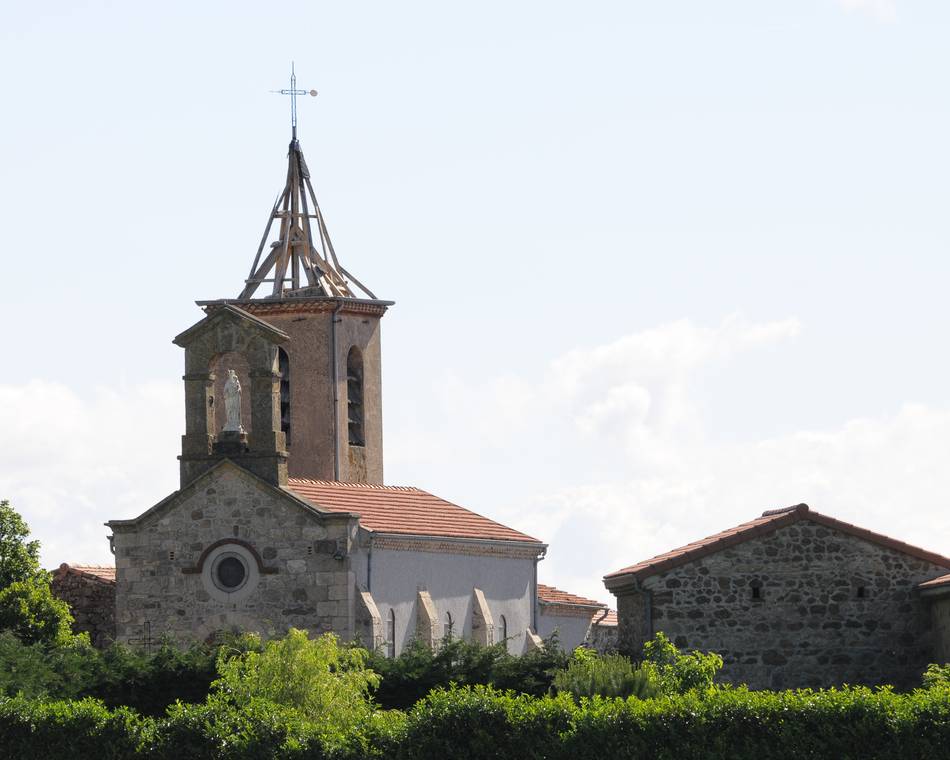
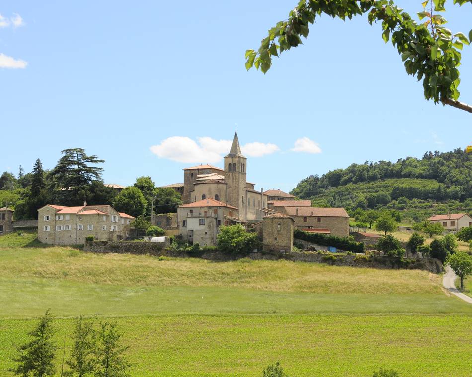
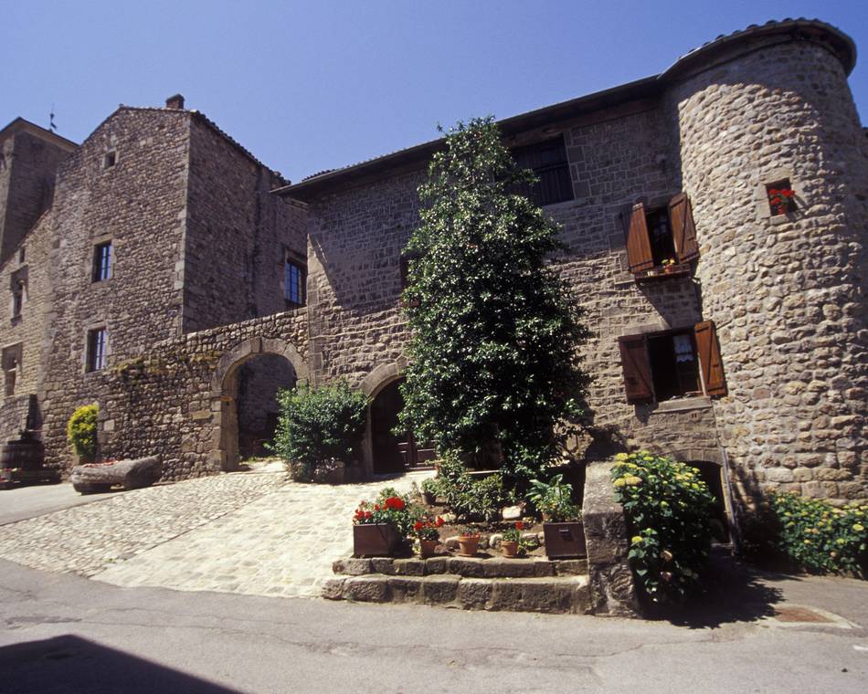
Pailharès
-
Unsere Partner
-
Centre du village
07410 PAILHARÈS - E-Mail senden
- +33 4 75 08 10 23
- +33 4 75 06 06 12
- https://www.onpiste.com/explorer/r…
Anfahrtsplan
- Distanz
- 76 km
- Höhe
- 1789 m
- Tägliche Dauer:
- 6h
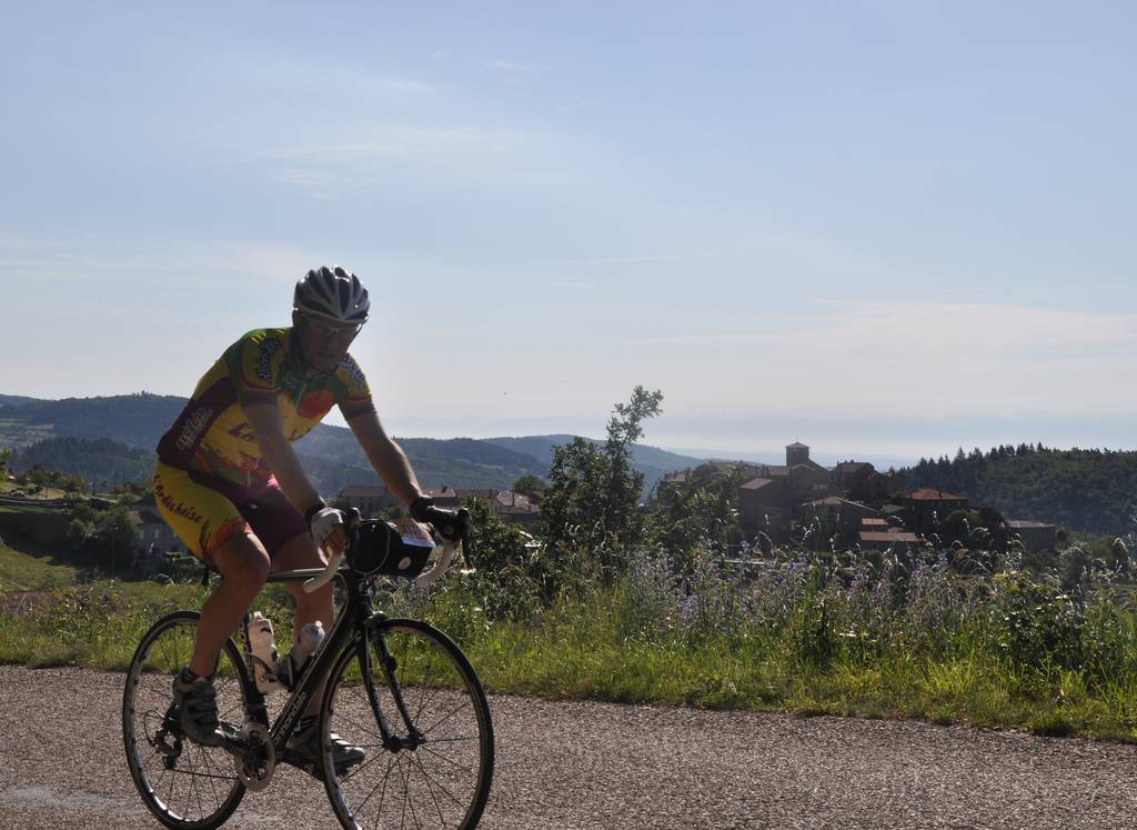
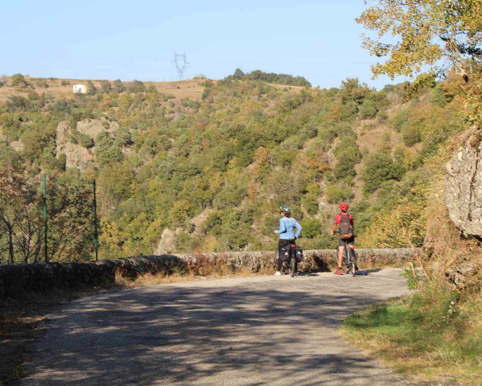
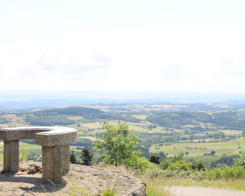
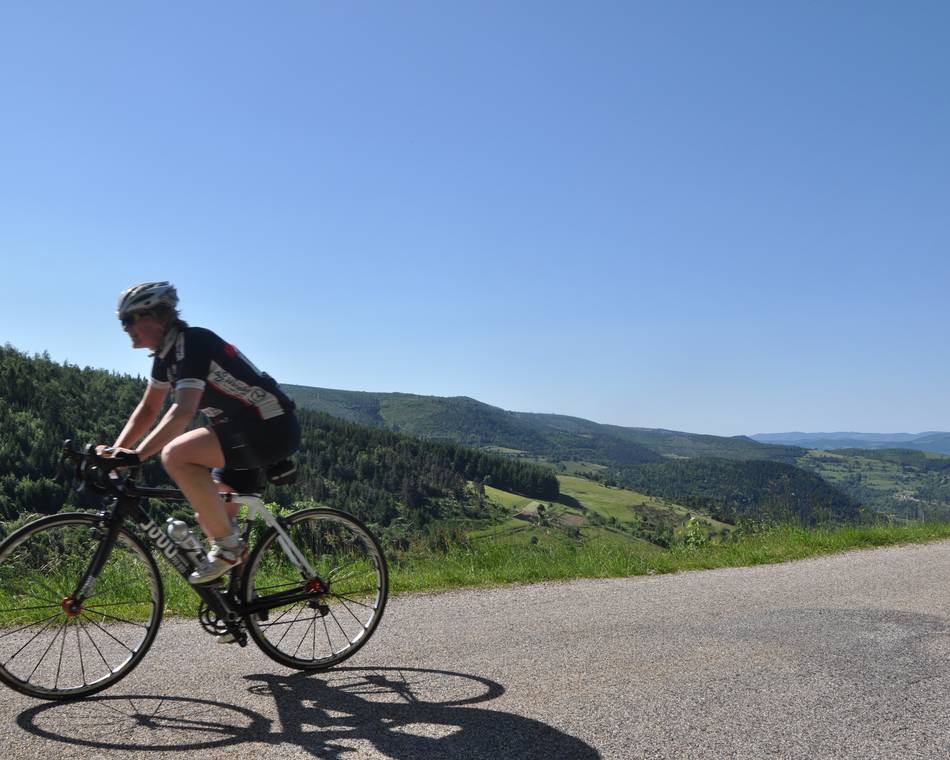
Beschreibung
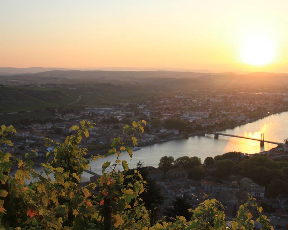
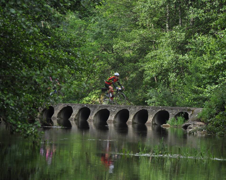
Schöne und anspruchsvolle Strecke, auf der Sie über 7 Pässe rund um Pailharès fahren und dabei Dörfer entdecken, die ebenso malerisch wie wild sind.
Möglichkeit der Verkürzung auf 39 und 61 km.
Road-book in unseren Empfangsbüros für 1€ erhältlich.
Preise
Geöffnet
Führung
Öffentliche Führungszeit : 360 Minuten
Merkmale
Gesprochene Sprachen
- Französich
Services
- Parkplatz in der Nähe
Broschüren runterladen
Interaktive Karte
Siehe auch
Unsere Partner
Val d'Ay
Saint-Félicien
Unsere Partner
Vaudevant
Vaudevant
Unsere Partner
Saint Félicien
Saint-Félicien
Unsere Partner
Itinéraire Cyclo : Bozas
Bozas
Unsere Partner
Saint Victor
Saint-Victor
Unsere Partner
Tour du Haut Vivarais
Saint-Félicien
Unsere Partner
Parcours cyclotouristique "Tour du Pays de Lamastre"
Saint-Félicien
Unsere Partner
"Balcons du Rhône et ses affluents"
Saint-Félicien
Unsere Partner
Colombier le Vieux
Colombier-le-Vieux

